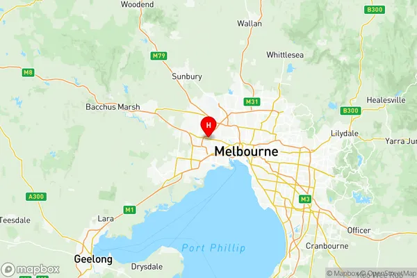
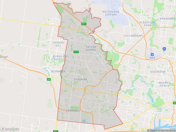
Brimbank Suburbs & Region, Brimbank Map & Postcodes
Brimbank Suburbs & Region, Brimbank Map & Postcodes in Brimbank, Melbourne West, VIC, AU
Brimbank Region
Region Name
Brimbank (VIC, AU)Brimbank Area
106.85 square kilometers (106.85 ㎢)Postal Codes
from 3020 to 3022, 3033, 3036, 3038, 8438, and 8511 (In total, there are 8 postcodes in Brimbank.)Brimbank Introduction
Brimbank is a suburb in Melbourne's west, located 10 kilometers from Melbourne's central business district. It is represented by the Legislative Assembly of Victoria as part of the electoral district of Lalor. The suburb has a diverse population and is home to a number of cultural and recreational facilities, including the Brimbank Shopping Centre, the Brimbank Park Community Centre, and the Westfield Knox Shopping Centre. Brimbank is also home to a number of major employers, including the Australian Taxation Office, the Department of Education and Training, and the Victorian Department of Health.Australia State
City or Big Region
District or Regional Area
Brimbank Region Map

Brimbank Postcodes / Zip Codes
Brimbank Suburbs
Ardeer Albion
Keilor Downs
Kings Park (Vic.)
St Albans North
St Albans South
Sunshine North
Sunshine West
Brimbank full address
Brimbank, Melbourne West, Victoria, VIC, Australia, SaCode: 21301Country
Brimbank, Melbourne West, Victoria, VIC, Australia, SaCode: 21301
Brimbank Suburbs & Region, Brimbank Map & Postcodes has 10 areas or regions above, and there are 20 Brimbank suburbs below. The sa3code for the Brimbank region is 21301. Its latitude and longitude coordinates are -37.7755,144.815.
Brimbank Suburbs & Localities
1. Sunshine
2. Kings Park
3. St Albans
4. Keilor East
5. Glengala
6. Sunshine North
7. Sunshine West
8. Albanvale
9. Ardeer
10. Albion
11. Deer Park East
12. Keilor North
13. Keilor Lodge
14. Taylors Lakes
15. Kealba
16. Keilor
17. Keilor Downs
18. Watergardens
19. Sunshine West
20. Sunshine West
