Albion Area, Albion Postcode(3020) & Map in Albion, Melbourne - West, VIC
Albion Area, Albion Postcode(3020) & Map in Albion, Melbourne - West, VIC, AU, Postcode: 3020
Albion, Ardeer - Albion, Brimbank, Melbourne - West, Victoria, Australia, 3020
Albion Postcode
Area Name
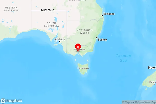
AlbionAlbion Suburb Area Map (Polygon)

Albion Introduction
Albion is a suburb in Melbourne's west, located 10 kilometers from the CBD. It has a rich history and was once home to a thriving Aboriginal community. The suburb has a variety of housing styles, including Victorian and Edwardian homes, and is known for its vibrant arts and culture scene. It also has several parks and recreational facilities, including the West Gate Park and the Albion Reserve.State Name
City or Big Region
District or Regional Area
Suburb Name
Albion Region Map

Country
Main Region in AU
R1Coordinates
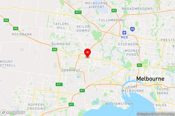
-37.7755151,144.8154448 (latitude/longitude)Albion Area Map (Street)

Longitude
144.829945Latitude
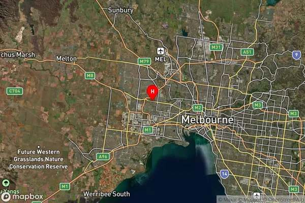
-37.777204Albion Suburb Map (Satellite)

Distances
The distance from Albion, Melbourne - West, VIC to AU Greater Capital CitiesSA1 Code 2011
21301132814SA1 Code 2016
21301132814SA2 Code
213011328SA3 Code
21301SA4 Code
213RA 2011
1RA 2016
1MMM 2015
1MMM 2019
1Charge Zone
V1LGA Region
BrimbankLGA Code
21180Electorate
Fraser