Kings Park (Vic.) Suburbs & Region, Kings Park (Vic.) Map & Postcodes
Kings Park (Vic.) Suburbs & Region, Kings Park (Vic.) Map & Postcodes in Kings Park (Vic.), Brimbank, Melbourne West, VIC, AU
Kings Park (Vic.) Region
Region Name
Kings Park (Vic.) (VIC, AU)Kings Park (Vic.) Area
4.43 square kilometers (4.43 ㎢)Postal Codes
3021 (In total, there are 1 postcodes in Kings Park (Vic.).)Kings Park (Vic.) Introduction
Kings Park is a suburb of Melbourne, Victoria, Australia. It is located 10 km west of Melbourne's central business district (CBD). The suburb is named after King William IV, who was the Prince Regent of the United Kingdom at the time of Victoria's colonization. Kings Park is home to a variety of parks and gardens, including the Royal Botanic Gardens, the Kings Park War Memorial, and the Western Botanic Gardens. The suburb is also home to a number of educational institutions, including the University of Melbourne and the Royal Melbourne Institute of Technology. Kings Park is a popular residential area with a mix of apartments, houses, and units. It is known for its peaceful atmosphere and convenient location, with easy access to public transport and the Western Ring Road.Australia State
City or Big Region
Greater Capital City
Greater Melbourne (2GMEL)District or Regional Area
Suburb Name
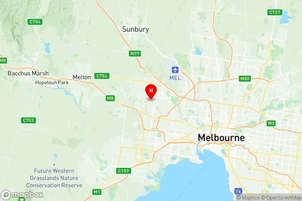
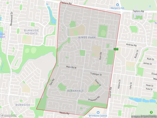
Kings Park (Vic.) Region Map

Kings Park (Vic.) Postcodes / Zip Codes
Kings Park (Vic.) Suburbs
Kings Park (Vic.) full address
Kings Park (Vic.), Brimbank, Melbourne West, Victoria, VIC, Australia, SaCode: 213011333Country
Kings Park (Vic.), Brimbank, Melbourne West, Victoria, VIC, Australia, SaCode: 213011333
Kings Park (Vic.) Suburbs & Region, Kings Park (Vic.) Map & Postcodes has 0 areas or regions above, and there are 2 Kings Park (Vic.) suburbs below. The sa2code for the Kings Park (Vic.) region is 213011333. Its latitude and longitude coordinates are -37.734,144.772. Kings Park (Vic.) area belongs to Australia's greater capital city Greater Melbourne.
Kings Park (Vic.) Suburbs & Localities
1. Kings Park
2. Albanvale
