Laverton Raaf Area, Laverton Raaf Postcode(3027) & Map in Laverton Raaf, Melbourne - West, VIC
Laverton Raaf Area, Laverton Raaf Postcode(3027) & Map in Laverton Raaf, Melbourne - West, VIC, AU, Postcode: 3027
Laverton Raaf, Laverton, Wyndham, Melbourne - West, Victoria, Australia, 3027
Laverton Raaf Postcode
Area Name
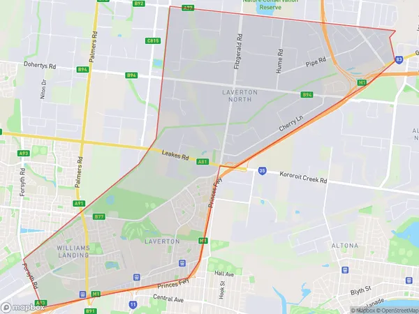
Laverton RaafLaverton Raaf Suburb Area Map (Polygon)

Laverton Raaf Introduction
Laverton Raaf is a significant Australian aviation site located in Melbourne's west. It was established in 1940 and played a crucial role in the country's aviation industry during World War II. The base was used to train pilots and aircrews for the Royal Australian Air Force (RAAF) and was also home to several aircraft units. Today, the site is a heritage-listed park and is open to the public for tours and events. It is a testament to the country's military history and the contributions of its aviation industry.State Name
City or Big Region
District or Regional Area
Suburb Name
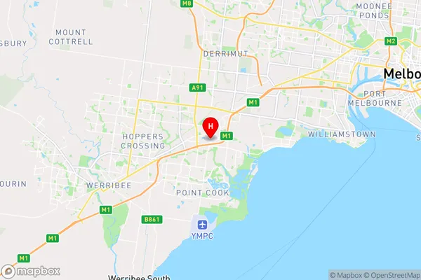
Laverton Raaf Region Map

Country
Main Region in AU
R1Coordinates
-37.8655231,144.7613154 (latitude/longitude)Laverton Raaf Area Map (Street)

Longitude
144.754147Latitude
-37.932419Laverton Raaf Elevation
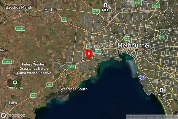
about 16.21 meters height above sea level (Altitude)Laverton Raaf Suburb Map (Satellite)

Distances
The distance from Laverton Raaf, Melbourne - West, VIC to AU Greater Capital CitiesSA1 Code 2011
21305136305SA1 Code 2016
21305136315SA2 Code
213051363SA3 Code
21305SA4 Code
213RA 2011
1RA 2016
1MMM 2015
1MMM 2019
1Charge Zone
V1LGA Region
Hobsons BayLGA Code
23110Electorate
Lalor