Quandong Area, Quandong Postcode(3030) & Map in Quandong, Melbourne - West, VIC
Quandong Area, Quandong Postcode(3030) & Map in Quandong, Melbourne - West, VIC, AU, Postcode: 3030
Quandong, Wyndham Vale, Wyndham, Melbourne - West, Victoria, Australia, 3030
Quandong Postcode
Area Name
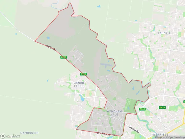
QuandongQuandong Suburb Area Map (Polygon)

Quandong Introduction
Quandong is a suburb located in the City of Melbourne, Victoria, Australia. It is 12 kilometers west of Melbourne's central business district (CBD) and is part of the Western Metropolitan Region. The suburb is named after the quandong tree, which is native to the area and is known for its edible fruit. Quandong has a population of approximately 11,000 people and is home to a variety of amenities, including a shopping center, a primary school, and a community center. The suburb is also well-connected to public transportation, with several bus routes and a train station located within walking distance.State Name
City or Big Region
District or Regional Area
Suburb Name
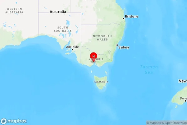
Quandong Region Map

Country
Main Region in AU
R1Coordinates
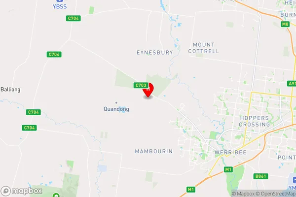
-37.8414477,144.5470351 (latitude/longitude)Quandong Area Map (Street)

Longitude
144.64209Latitude
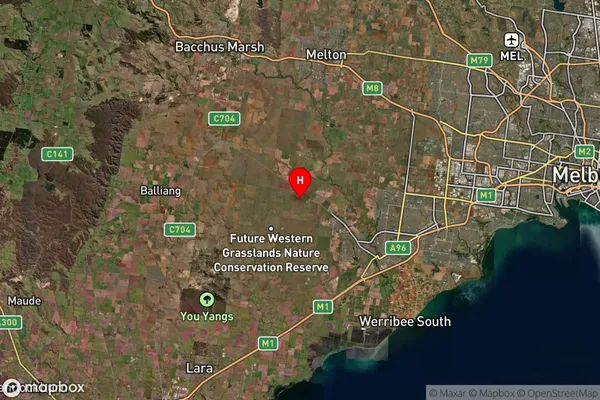
-37.91624Quandong Suburb Map (Satellite)

Distances
The distance from Quandong, Melbourne - West, VIC to AU Greater Capital CitiesSA1 Code 2011
21305136925SA1 Code 2016
21305136968SA2 Code
213051369SA3 Code
21305SA4 Code
213RA 2011
2RA 2016
2MMM 2015
2MMM 2019
2Charge Zone
V1LGA Region
WyndhamLGA Code
27260Electorate
Lalor