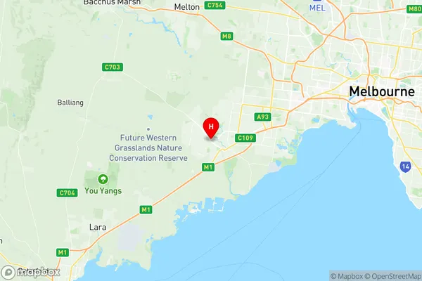
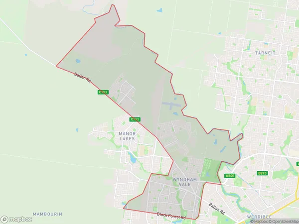
Wyndham Vale Suburbs & Region, Wyndham Vale Map & Postcodes
Wyndham Vale Suburbs & Region, Wyndham Vale Map & Postcodes in Wyndham Vale, Wyndham, Melbourne West, VIC, AU
Wyndham Vale Region
Region Name
Wyndham Vale (VIC, AU)Postal Codes
3024, and 3030 (In total, there are 2 postcodes in Wyndham Vale.)Wyndham Vale Introduction
Wyndham Vale is a suburb in Melbourne's west, located 10 kilometers from the city center. It is home to a variety of shops, restaurants, and parks, including the Wyndham Vale Shopping Centre and the Wyndham Vale Park. The suburb has a large population of Chinese and Indian immigrants, and is known for its vibrant cultural community. Wyndham Vale is well-connected to the rest of Melbourne via the Western Ring Road and the Monash Freeway. It is also home to a number of schools, including Wyndham Vale Primary School and Wyndham College.Australia State
City or Big Region
District or Regional Area
Suburb Name
Wyndham Vale Region Map

Wyndham Vale Postcodes / Zip Codes
Wyndham Vale Suburbs
Wyndham Vale full address
Wyndham Vale, Wyndham, Melbourne West, Victoria, VIC, Australia, SaCode: 213051369Country
Wyndham Vale, Wyndham, Melbourne West, Victoria, VIC, Australia, SaCode: 213051369
Wyndham Vale Suburbs & Region, Wyndham Vale Map & Postcodes has 0 areas or regions above, and there are 3 Wyndham Vale suburbs below. The sa2code for the Wyndham Vale region is 213051369. Its latitude and longitude coordinates are -37.89,144.63.
Wyndham Vale Suburbs & Localities
1. Manor Lakes
2. Wyndham Vale
3. Quandong
