Laverton Area, Laverton Postcode(3028) & Map in Laverton, Melbourne - West, VIC
Laverton Area, Laverton Postcode(3028) & Map in Laverton, Melbourne - West, VIC, AU, Postcode: 3028
Laverton, Laverton, Wyndham, Melbourne - West, Victoria, Australia, 3028
Laverton Postcode
Area Name
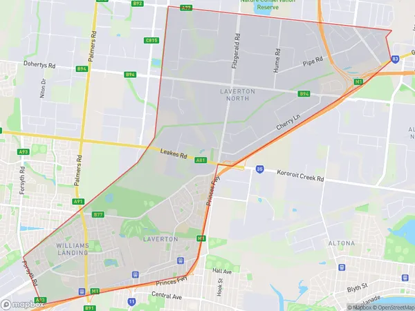
LavertonLaverton Suburb Area Map (Polygon)

Laverton Introduction
Laverton is a suburb in Melbourne's west, located 10 kilometers from the CBD. It has a rich industrial past and is home to the Laverton Industrial Estate. The suburb has a diverse population and is known for its affordable housing and community facilities. It also has a large shopping center and a train station.State Name
City or Big Region
District or Regional Area
Suburb Name
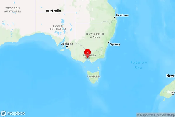
Laverton Region Map

Country
Main Region in AU
R1Coordinates
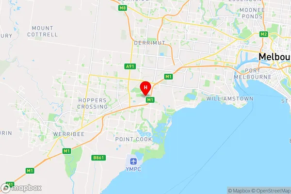
-37.8592043,144.7704046 (latitude/longitude)Laverton Area Map (Street)

Longitude
144.777165Latitude
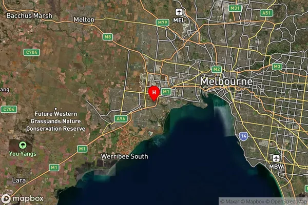
-37.875066Laverton Suburb Map (Satellite)

Distances
The distance from Laverton, Melbourne - West, VIC to AU Greater Capital CitiesSA1 Code 2011
21305136301SA1 Code 2016
21305136301SA2 Code
213051363SA3 Code
21305SA4 Code
213RA 2011
1RA 2016
1MMM 2015
1MMM 2019
1Charge Zone
V1LGA Region
Hobsons BayLGA Code
23110Electorate
Gellibrand