Tarneit Area, Tarneit Postcode(3029) & Map in Tarneit, Melbourne - West, VIC
Tarneit Area, Tarneit Postcode(3029) & Map in Tarneit, Melbourne - West, VIC, AU, Postcode: 3029
Tarneit, Tarneit, Wyndham, Melbourne - West, Victoria, Australia, 3029
Tarneit Postcode
Area Name
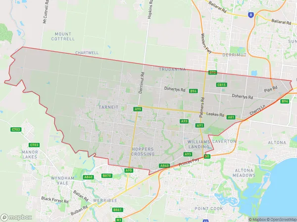
TarneitTarneit Suburb Area Map (Polygon)

Tarneit Introduction
Tarneit is a suburb in Melbourne's west, located 16 kilometers from the CBD. It is home to a large number of Sudanese and African immigrants. The suburb has a variety of shops, restaurants, and parks, and is known for its vibrant community. Tarneit has a large Sudanese community, with many residents speaking English, Arabic, and Sudanese. There are several Sudanese churches and community centers in the suburb, and it is also home to a large number of African grocery stores and restaurants.State Name
City or Big Region
District or Regional Area
Suburb Name
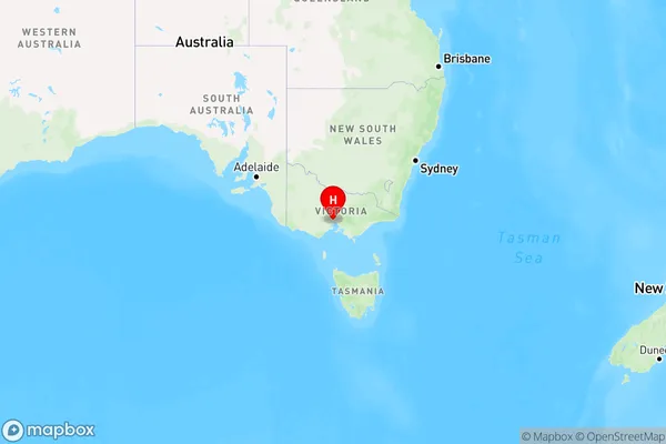
Tarneit Region Map

Country
Main Region in AU
R1Coordinates
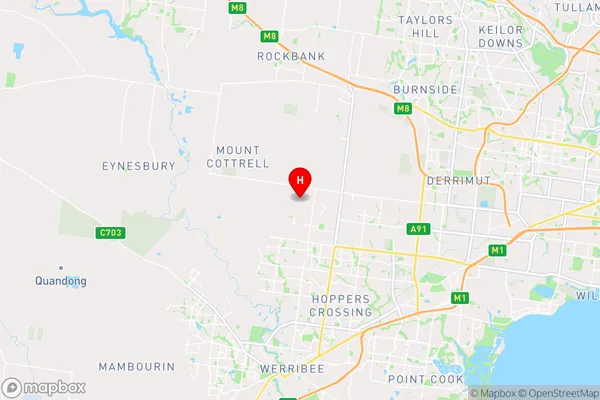
-37.8091678,144.6672079 (latitude/longitude)Tarneit Area Map (Street)

Longitude
144.705831Latitude
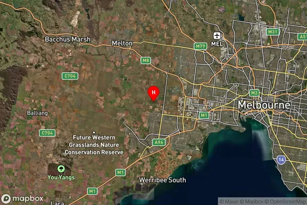
-37.837165Tarneit Suburb Map (Satellite)

Distances
The distance from Tarneit, Melbourne - West, VIC to AU Greater Capital CitiesSA1 Code 2011
21305136514SA1 Code 2016
21305136514SA2 Code
213051365SA3 Code
21305SA4 Code
213RA 2011
1RA 2016
1MMM 2015
1MMM 2019
1Charge Zone
V1LGA Region
WyndhamLGA Code
27260Electorate
Lalor