Exford Area, Exford Postcode(3338) & Map in Exford, Melbourne - West, VIC
Exford Area, Exford Postcode(3338) & Map in Exford, Melbourne - West, VIC, AU, Postcode: 3338
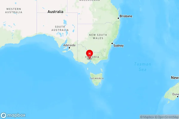
Exford, Melton South, Melton - Bacchus Marsh, Melbourne - West, Victoria, Australia, 3338
Exford Postcode
Area Name
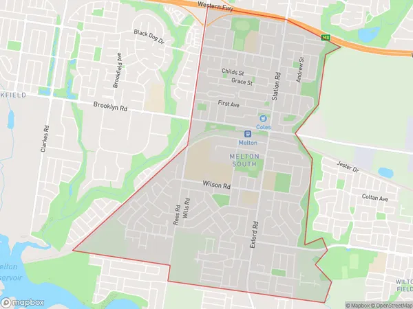
ExfordExford Suburb Area Map (Polygon)

Exford Introduction
Exford is a suburb in Melbourne's west, located 7 kilometers from the CBD. It has a variety of shops, cafes, and restaurants and is home to a large number of medical and educational facilities. The suburb has a rich history and is known for its beautiful gardens and parks. It is also home to the Exford Football Club, which is a prominent part of the local community.State Name
City or Big Region
District or Regional Area
Suburb Name
Exford Region Map

Country
Main Region in AU
R1Coordinates
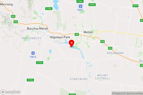
-37.7185795,144.5349356 (latitude/longitude)Exford Area Map (Street)

Longitude
144.571033Latitude
-37.705529Exford Elevation
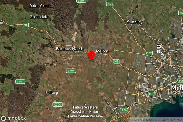
about 125.09 meters height above sea level (Altitude)Exford Suburb Map (Satellite)

Distances
The distance from Exford, Melbourne - West, VIC to AU Greater Capital CitiesSA1 Code 2011
21304135726SA1 Code 2016
21304135733SA2 Code
213041357SA3 Code
21304SA4 Code
213RA 2011
2RA 2016
2MMM 2015
2MMM 2019
2Charge Zone
V1LGA Region
MeltonLGA Code
24650Electorate
Gorton