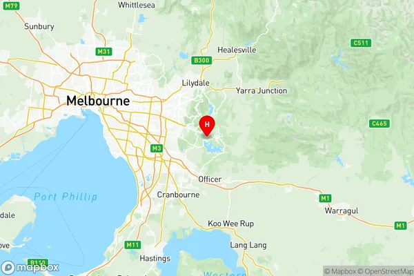
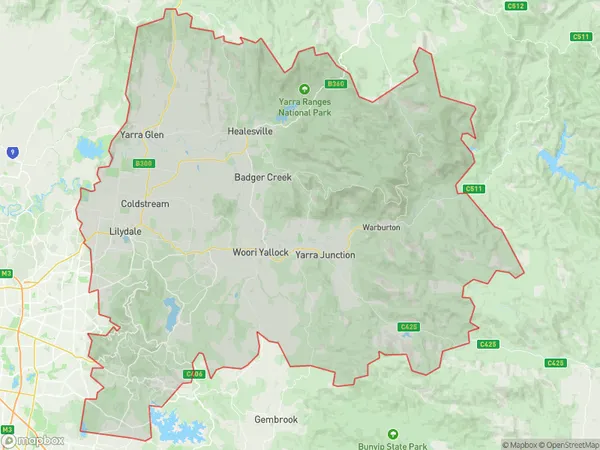
Yarra Ranges Suburbs & Region, Yarra Ranges Map & Postcodes
Yarra Ranges Suburbs & Region, Yarra Ranges Map & Postcodes in Yarra Ranges, Melbourne Outer East, VIC, AU
Yarra Ranges Region
Region Name
Yarra Ranges (VIC, AU)Yarra Ranges Area
1606 square kilometers (1,606 ㎢)Postal Codes
3116, 3137, 3138, 3140, from 3158 to 3160, from 3765 to 3767, 3770, 3775, 3777, 3778, from 3785 to 3789, from 3791 to 3793, from 3795 to 3797, 3799, and 3833 (In total, there are 27 postcodes in Yarra Ranges.)Yarra Ranges Introduction
The Yarra Ranges National Park is a protected area located in the eastern suburbs of Melbourne, Victoria, Australia. It is known for its stunning mountain scenery, waterfalls, and forests, and is a popular destination for hiking, camping, and picnicking. The park is home to a variety of wildlife, including kangaroos, wallabies, and echidnas, and is also a significant conservation area, with many rare and endangered species found within its boundaries. The Yarra Ranges National Park is a beautiful and diverse natural area that offers a wide range of recreational opportunities to visitors of all ages and abilities.Australia State
City or Big Region
District or Regional Area
Yarra Ranges Region Map

Yarra Ranges Postcodes / Zip Codes
Yarra Ranges Suburbs
Upper Yarra Valley
Mount Baw Baw Region
Panton Hill St Andrews
Lilydale Coldstream
Mount Dandenong Olinda
Yarra Ranges full address
Yarra Ranges, Melbourne Outer East, Victoria, VIC, Australia, SaCode: 21105Country
Yarra Ranges, Melbourne Outer East, Victoria, VIC, Australia, SaCode: 21105
Yarra Ranges Suburbs & Region, Yarra Ranges Map & Postcodes has 16 areas or regions above, and there are 68 Yarra Ranges suburbs below. The sa3code for the Yarra Ranges region is 21105. Its latitude and longitude coordinates are -37.931,145.398.
Yarra Ranges Suburbs & Localities
1. Mooroolbark
2. Upwey
3. Belgrave Heights
4. Tecoma
5. Kilsyth South
6. Menzies Creek
7. Chirnside Park
8. Kilsyth
9. Lilydale
10. Selby
11. Belgrave
12. Belgrave South
13. Montrose
14. Mount Dandenong
15. Badger Creek
16. Castella
17. Healesville Main Street
18. Toolangi
19. Tremont
20. Kalorama
21. Christmas Hills
22. Steels Creek
23. Tarrawarra
24. Chum Creek
25. Mount Toolebewong
26. Narbethong
27. Ferny Creek
28. Sassafras
29. The Patch
30. Silvan
31. Coldstream
32. Gruyere
33. Yering
34. Dixons Creek
35. Sassafras Gully
36. Sherbrooke
37. Monbulk
38. Yarra Glen
39. Healesville
40. Healesville Post Shop
41. Fernshaw
42. Olinda
43. Kallista
44. Mount Evelyn
45. Gilderoy
46. Gladysdale
47. East Warburton
48. Three Bridges
49. Yarra Junction
50. Millgrove
51. Icy Creek
52. Mt Baw Baw
53. Noojee
54. Vesper
55. Reefton
56. Ada
57. Baw Baw
58. Baw Baw Village
59. Loch Valley
60. Piedmont
61. Warburton
62. Wesburn
63. Gentle Annie
64. Tanjil Bren
65. Powelltown
66. Big Pats Creek
67. Mcmahons Creek
68. Toorongo
