The Patch Area, The Patch Postcode(3792) & Map in The Patch, Melbourne - Outer East, VIC
The Patch Area, The Patch Postcode(3792) & Map in The Patch, Melbourne - Outer East, VIC, AU, Postcode: 3792
The Patch, Mount Dandenong - Olinda, Yarra Ranges, Melbourne - Outer East, Victoria, Australia, 3792
The Patch Postcode
Area Name
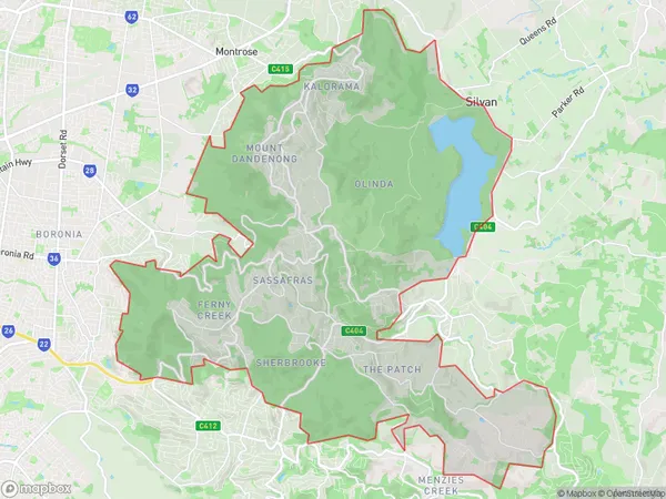
The PatchThe Patch Suburb Area Map (Polygon)

State Name
City or Big Region
District or Regional Area
Suburb Name
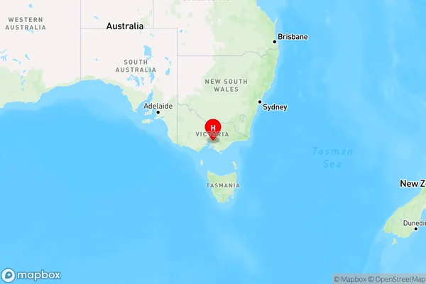
The Patch Region Map

Country
Main Region in AU
R3Coordinates
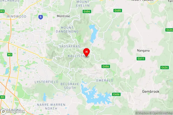
-37.8887708,145.3973329 (latitude/longitude)The Patch Area Map (Street)

Longitude
145.405388Latitude
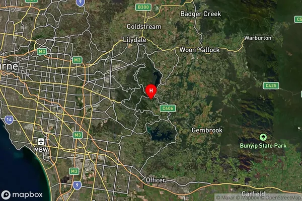
-37.89424The Patch Suburb Map (Satellite)

Distances
The distance from The Patch, Melbourne - Outer East, VIC to AU Greater Capital CitiesSA1 Code 2011
21105128204SA1 Code 2016
21105128204SA2 Code
211051282SA3 Code
21105SA4 Code
211RA 2011
1RA 2016
1MMM 2015
1MMM 2019
1Charge Zone
V1LGA Region
KnoxLGA Code
23670Electorate
Casey