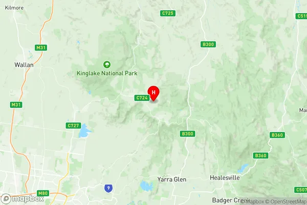
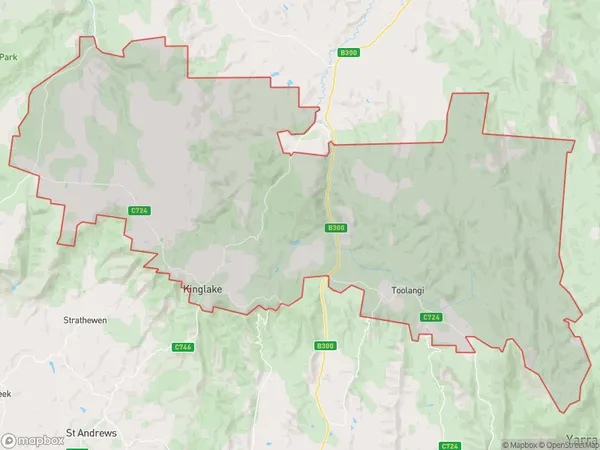
Kinglake Suburbs & Region, Kinglake Map & Postcodes
Kinglake Suburbs & Region, Kinglake Map & Postcodes in Kinglake, Yarra Ranges, Melbourne Outer East, VIC, AU
Kinglake Region
Region Name
Kinglake (VIC, AU)Kinglake Area
319.5 square kilometers (319.5 ㎢)Kinglake Introduction
Kinglake is a locality in the Shire of Buloke, Victoria, Australia. It is located 33 km north-east of Melbourne's central business district. At the 2016 census, Kinglake had a population of 1,320. The post office opened as Kinglake West on 1 October 1892 and was closed on 1 March 1971. The present post office opened on 1 February 1972 and was closed on 29 May 1994. The town is named after the Kinglake Forest, which was named after the Scottish botanist Sir William Kinglake.Australia State
City or Big Region
Greater Capital City
Greater Melbourne (2GMEL)District or Regional Area
Suburb Name
Kinglake Region Map

Kinglake Suburbs
Kinglake full address
Kinglake, Yarra Ranges, Melbourne Outer East, Victoria, VIC, Australia, SaCode: 209031211Country
Kinglake, Yarra Ranges, Melbourne Outer East, Victoria, VIC, Australia, SaCode: 209031211
Kinglake Suburbs & Region, Kinglake Map & Postcodes has 0 areas or regions above, and there are 0 Kinglake suburbs below. The sa2code for the Kinglake region is 209031211. Its latitude and longitude coordinates are -37.494,145.325. Kinglake area belongs to Australia's greater capital city Greater Melbourne.
