Kinglake Area, Kinglake Postcode(3763) & Map in Kinglake, Melbourne - North East, VIC
Kinglake Area, Kinglake Postcode(3763) & Map in Kinglake, Melbourne - North East, VIC, AU, Postcode: 3763
Kinglake, Kinglake, Nillumbik - Kinglake, Melbourne - North East, Victoria, Australia, 3763
Kinglake Postcode
Area Name
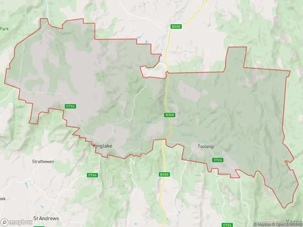
KinglakeKinglake Suburb Area Map (Polygon)

Kinglake Introduction
Kinglake is a town in Victoria, Australia, 35 km north-east of Melbourne. It is in the Shire of Buloke local government area. At the 2016 census, Kinglake had a population of 4,121. The town is named after the Kinglake Forest, which was named after the Kinglake River. The Kinglake National Park is located in the town.State Name
City or Big Region
District or Regional Area
Suburb Name
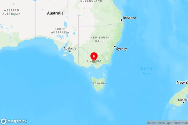
Kinglake Region Map

Country
Main Region in AU
R3Coordinates
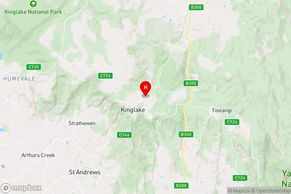
-37.518382,145.3591263 (latitude/longitude)Kinglake Area Map (Street)

Longitude
145.353378Latitude
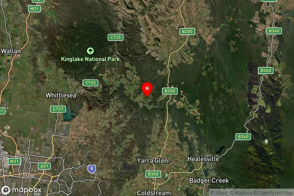
-37.521863Kinglake Suburb Map (Satellite)

Distances
The distance from Kinglake, Melbourne - North East, VIC to AU Greater Capital CitiesSA1 Code 2011
20903121112SA1 Code 2016
20903121112SA2 Code
209031211SA3 Code
20903SA4 Code
209RA 2011
2RA 2016
2MMM 2015
5MMM 2019
5Charge Zone
V1LGA Region
NillumbikLGA Code
25710Electorate
McEwen