Nillumbik Kinglake Suburbs & Region, Nillumbik Kinglake Map & Postcodes
Nillumbik Kinglake Suburbs & Region, Nillumbik Kinglake Map & Postcodes in Nillumbik Kinglake, Melbourne North East, VIC, AU
Nillumbik Kinglake Region
Region Name
Nillumbik Kinglake (VIC, AU)Nillumbik Kinglake Area
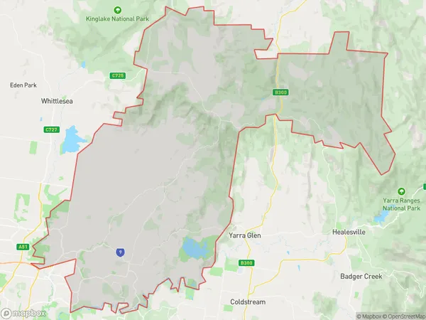
751.77 square kilometers (751.77 ㎢)Postal Codes
from 3087 to 3091, from 3095 to 3097, 3099, from 3759 to 3761, and 3763 (In total, there are 13 postcodes in Nillumbik Kinglake.)Nillumbik Kinglake Introduction
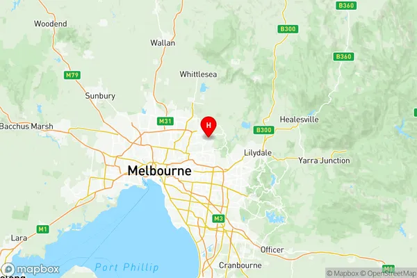
Nillumbik Kinglake is a locality in Melbourne's north-east, Victoria, Australia. It is located 20 kilometers north-east of Melbourne's central business district. The post office opened as North Warrandy on 1 November 1924 and was closed on 1 March 1927. It reopened as Kinglake on 1 July 1927 and was closed again on 1 October 1932. The present post office opened as Nillumbik on 1 November 1938 and was closed on 29 May 1994.Australia State
City or Big Region
District or Regional Area
Nillumbik Kinglake Region Map

Nillumbik Kinglake Postcodes / Zip Codes
Nillumbik Kinglake Suburbs
Wattle Glen Diamond Creek
Nillumbik Kinglake full address
Nillumbik Kinglake, Melbourne North East, Victoria, VIC, Australia, SaCode: 20903Country
Nillumbik Kinglake, Melbourne North East, Victoria, VIC, Australia, SaCode: 20903
Nillumbik Kinglake Suburbs & Region, Nillumbik Kinglake Map & Postcodes has 6 areas or regions above, and there are 27 Nillumbik Kinglake suburbs below. The sa3code for the Nillumbik Kinglake region is 20903. Its latitude and longitude coordinates are -37.715,145.158.
Nillumbik Kinglake Suburbs & Localities
1. Watsonia
2. Watsonia North
3. St Helena
4. Yarrambat
5. Wattle Glen
6. Cottles Bridge
7. Hurstbridge
8. Strathewen
9. Saint Helena
10. Plenty
11. Eltham North
12. Briar Hill
13. Greensborough
14. Diamond Creek
15. Kangaroo Ground
16. Arthurs Creek
17. Nutfield
18. Eltham
19. Research
20. Bend Of Islands
21. Watsons Creek
22. St Andrews
23. Panton Hill
24. Smiths Gully
25. Smiths Gully
26. Kinglake
27. Mount Slide
