Research Area, Research Postcode(3095) & Map in Research, Melbourne - North East, VIC
Research Area, Research Postcode(3095) & Map in Research, Melbourne - North East, VIC, AU, Postcode: 3095
Research, Research - North Warrandyte, Nillumbik - Kinglake, Melbourne - North East, Victoria, Australia, 3095
Research Postcode
Area Name
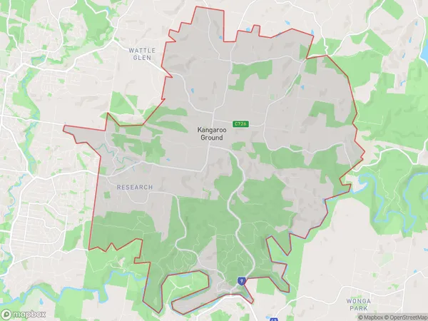
ResearchResearch Suburb Area Map (Polygon)

Research Introduction
Melbourne - North East is a suburb in Melbourne, Victoria, Australia. It is located in the state of Victoria and is part of the City of Moreland. The postcode for Melbourne - North East is 3058. It is located in the north-east of Melbourne and is bordered by the suburbs of Brunswick, Coburg, Preston, Reservoir, and Northcote.State Name
City or Big Region
District or Regional Area
Suburb Name
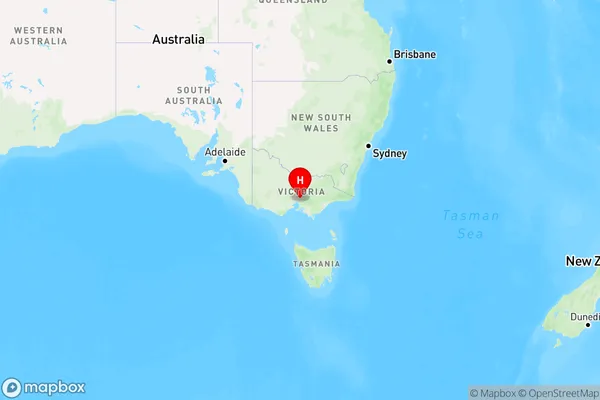
Research Region Map

Country
Main Region in AU
R1Coordinates
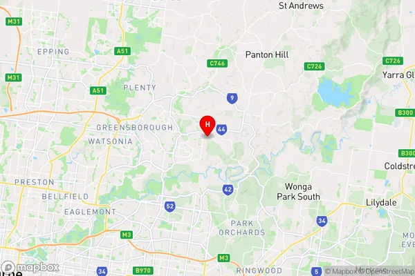
-37.707,145.18 (latitude/longitude)Research Area Map (Street)

Longitude
145.158579Latitude
-37.713299Research Elevation
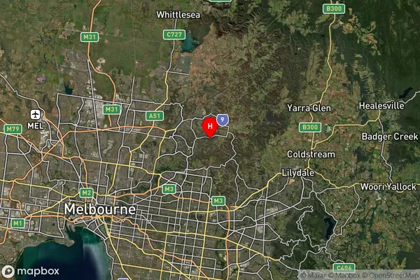
about 52.24 meters height above sea level (Altitude)Research Suburb Map (Satellite)

Distances
The distance from Research, Melbourne - North East, VIC to AU Greater Capital CitiesSA1 Code 2011
20903121404SA1 Code 2016
20903121404SA2 Code
209031214SA3 Code
20903SA4 Code
209RA 2011
1RA 2016
1MMM 2015
1MMM 2019
1Charge Zone
V1LGA Region
ManninghamLGA Code
24210Electorate
Menzies