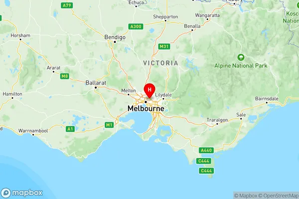
Melbourne North East Suburbs & Region, Melbourne North East Map & Postcodes
Melbourne North East Suburbs & Region, Melbourne North East Map & Postcodes in Melbourne North East, VIC, AU
Melbourne North East Region
Region Name
Melbourne North East (VIC, AU)Melbourne North East Area
1851 square kilometers (1,851 ㎢)Postal Codes
3072, 3073, 3075, 3076, 3079, from 3081 to 3091, from 3093 to 3097, 3099, 3105, 3658, from 3750 to 3755, from 3757 to 3761, and 3763 (In total, there are 36 postcodes in Melbourne North East.)Melbourne North East Introduction
Melbourne North East is a suburb of Melbourne, Victoria, Australia. It is located 11 kilometers north-east of Melbourne's central business district and is part of the City of Moreland local government area. The suburb has a population of approximately 11,000 people and is known for its leafy streets, parks, and well-maintained homes. It is also home to a number of schools, including North East Primary School and St. Francis of Assisi Catholic Primary School. Melbourne North East is well-connected to the rest of Melbourne, with easy access to the city's public transport system and major roads. It is also close to a number of shopping centers, including Northland Shopping Centre and Eastland Shopping Centre.Australia State
City or Big Region
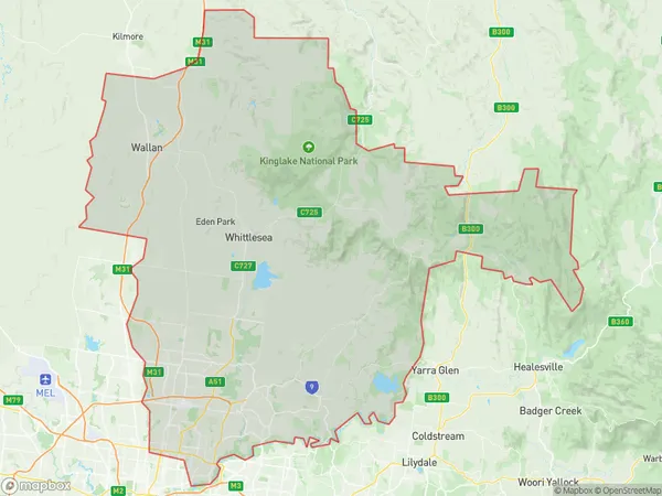
Melbourne North East Region Map

Melbourne North East Postcodes / Zip Codes
Melbourne North East Suburbs
Darebin North
Nillumbik Kinglake
Whittlesea Wallan
Melbourne North East full address
Melbourne North East, Victoria, VIC, Australia, SaCode: 209Country
Melbourne North East, Victoria, VIC, Australia, SaCode: 209
Melbourne North East Suburbs & Region, Melbourne North East Map & Postcodes has 4 areas or regions above, and there are 96 Melbourne North East suburbs below. The sa4code for the Melbourne North East region is 209. Its latitude and longitude coordinates are -37.7703,145.046.
Melbourne North East Suburbs & Localities
1. Reedy Creek
2. Bulleen South
3. St Helena
4. Banyule
5. Heidelberg Heights
6. Ivanhoe North
7. Lower Plenty
8. Montmorency
9. Macleod West
10. Watsonia
11. La Trobe University
12. Kingsbury
13. Reservoir South
14. Preston
15. Eltham North
16. Hurstbridge
17. Kinglake Central
18. Kinglake
19. Bend Of Islands
20. St Andrews
21. Doreen
22. Panton Hill
23. Smiths Gully
24. Yarrambat
25. Plenty
26. Wattle Glen
27. Diamond Creek
28. Lalor Plaza
29. Mill Park
30. Wandong
31. Beveridge
32. Yan Yean
33. Woodstock
34. Epping Dc
35. South Morang
36. Wollert
