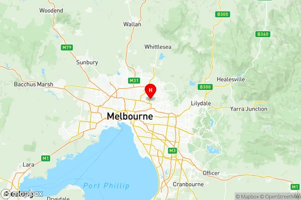
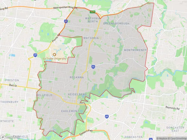
Banyule Suburbs & Region, Banyule Map & Postcodes
Banyule Suburbs & Region, Banyule Map & Postcodes in Banyule, Melbourne North East, VIC, AU
Banyule Region
Region Name
Banyule (VIC, AU)Banyule Area
62.61 square kilometers (62.61 ㎢)Postal Codes
3079, 3081, 3084, 3093, 3094, and 3105 (In total, there are 6 postcodes in Banyule.)Banyule Introduction
Banyule is a suburb in Melbourne's north-east, 10 km north-east of Melbourne's central business district. It is represented by the Banyule City Council. The post office opened as North Banyule on 1 August 1892 and was closed on 1 March 1974. The suburb was named after the Banyule Creek, which flows through it. Banyule is home to the Banyule National Park, which covers 56 hectares of land. The park features walking tracks, picnic areas, and a playground. The Banyule Tennis Club is located in the suburb and has a number of tennis courts. The suburb also has a number of schools, including Banyule Primary School, Banyule Secondary College, and St John of God College.Australia State
City or Big Region
District or Regional Area
Banyule Region Map

Banyule Postcodes / Zip Codes
Banyule Suburbs
Heidelberg Rosanna
Heidelberg West
Ivanhoe East Eaglemont
Montmorency Briar Hill
Banyule full address
Banyule, Melbourne North East, Victoria, VIC, Australia, SaCode: 20901Country
Banyule, Melbourne North East, Victoria, VIC, Australia, SaCode: 20901
Banyule Suburbs & Region, Banyule Map & Postcodes has 7 areas or regions above, and there are 16 Banyule suburbs below. The sa3code for the Banyule region is 20901. Its latitude and longitude coordinates are -37.7436,145.077.
Banyule Suburbs & Localities
1. Banyule
2. Eaglemont
3. Heidelberg
4. Rosanna
5. Bulleen South
6. Ivanhoe East
7. Ivanhoe North
8. Heidelberg Heights
9. Viewbank
10. Bulleen
11. Lower Plenty
12. Ivanhoe
13. Bellfield
14. Heidelberg Rgh
15. Heidelberg West
16. Montmorency
