Bulleen South Area, Bulleen South Postcode(3105) & Map in Bulleen South, Melbourne - Inner East, VIC
Bulleen South Area, Bulleen South Postcode(3105) & Map in Bulleen South, Melbourne - Inner East, VIC, AU, Postcode: 3105
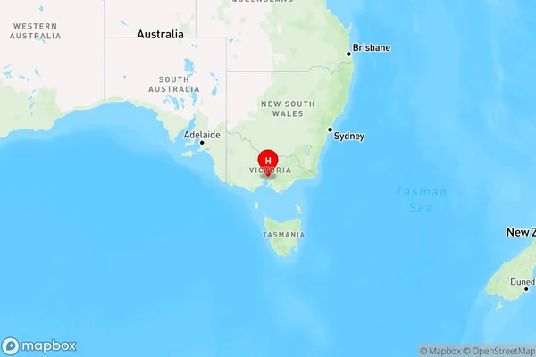
Bulleen South, Bulleen, Manningham - West, Melbourne - Inner East, Victoria, Australia, 3105
Bulleen South Postcode
Area Name
Bulleen SouthBulleen South Suburb Area Map (Polygon)

Bulleen South Introduction
Bulleen South is a suburb in Melbourne, Australia, located 10 kilometers east of the city center. It is part of the City of Monash local government area and is known for its vibrant multicultural community. The suburb has a large number of Asian restaurants, grocery stores, and cultural centers, and is home to a significant number of immigrants from India, China, and Vietnam. Bulleen South is also home to a number of parks and recreational facilities, including the Bulleen Reserve, which features a cricket ground, tennis courts, and a playground.State Name
City or Big Region
District or Regional Area
Suburb Name
Bulleen South Region Map

Country
Main Region in AU
R1Coordinates
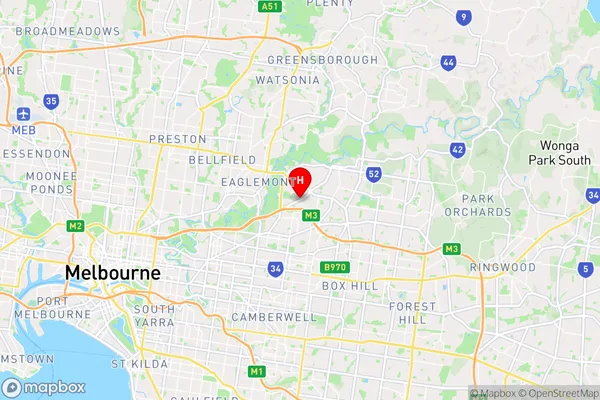
-37.7748,145.092 (latitude/longitude)Bulleen South Area Map (Street)

Longitude
145.084806Latitude
-37.772477Bulleen South Elevation
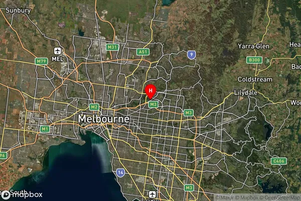
about 12.66 meters height above sea level (Altitude)Bulleen South Suburb Map (Satellite)

Distances
The distance from Bulleen South, Melbourne - Inner East, VIC to AU Greater Capital CitiesSA1 Code 2011
20702115623SA1 Code 2016
20702115623SA2 Code
207021156SA3 Code
20702SA4 Code
207RA 2011
1RA 2016
1MMM 2015
1MMM 2019
1Charge Zone
V1LGA Region
BanyuleLGA Code
20660Electorate
Menzies