Heidelberg Heights Area, Heidelberg Heights Postcode(3081) & Map in Heidelberg Heights, Melbourne - North East, VIC
Heidelberg Heights Area, Heidelberg Heights Postcode(3081) & Map in Heidelberg Heights, Melbourne - North East, VIC, AU, Postcode: 3081
Heidelberg Heights, Heidelberg West, Banyule, Melbourne - North East, Victoria, Australia, 3081
Heidelberg Heights Postcode
Area Name
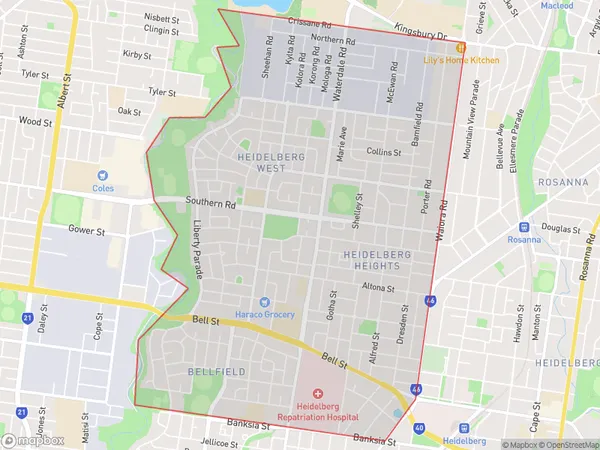
Heidelberg HeightsHeidelberg Heights Suburb Area Map (Polygon)

Heidelberg Heights Introduction
Heidelberg Heights is a suburb in Melbourne's north-east, 10 km north-east of the CBD. It is represented by the Heidelberg Heights Citizens' Association and has a variety of shops, parks, and recreational facilities. The suburb has a large Greek community and is home to the Heidelberg Heights Primary School.State Name
City or Big Region
District or Regional Area
Suburb Name
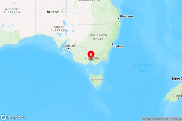
Heidelberg Heights Region Map

Country
Main Region in AU
R1Coordinates
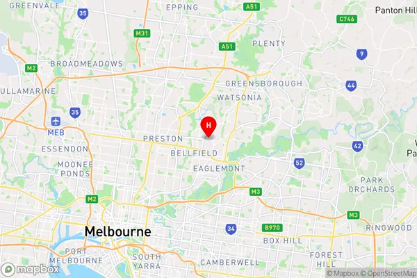
-37.742,145.053 (latitude/longitude)Heidelberg Heights Area Map (Street)

Longitude
145.046401Latitude
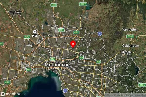
-37.743008Heidelberg Heights Suburb Map (Satellite)

Distances
The distance from Heidelberg Heights, Melbourne - North East, VIC to AU Greater Capital CitiesSA1 Code 2011
20901119925SA1 Code 2016
20901119925SA2 Code
209011199SA3 Code
20901SA4 Code
209RA 2011
1RA 2016
1MMM 2015
1MMM 2019
1Charge Zone
V1LGA Region
DarebinLGA Code
21890Electorate
Jagajaga