Ivanhoe Area, Ivanhoe Postcode(3079) & Map in Ivanhoe, Melbourne - North East, VIC
Ivanhoe Area, Ivanhoe Postcode(3079) & Map in Ivanhoe, Melbourne - North East, VIC, AU, Postcode: 3079
Ivanhoe, Ivanhoe, Banyule, Melbourne - North East, Victoria, Australia, 3079
Ivanhoe Postcode
Area Name
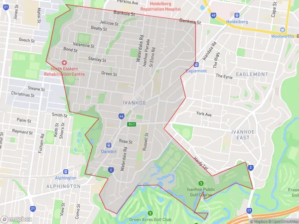
IvanhoeIvanhoe Suburb Area Map (Polygon)

Ivanhoe Introduction
Ivanhoe is a suburb in Melbourne, Australia, located in the state of Victoria. It is 10 kilometers north-east of the Melbourne city center and is part of the City of Banyule local government area. The suburb is named after Ivanhoe, a novel by Walter Scott. It is known for its historic homes, gardens, and parks, including the Ivanhoe Grammar School and the Ivanhoe Aquatic Centre.State Name
City or Big Region
District or Regional Area
Suburb Name
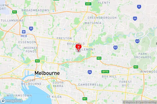
Ivanhoe Region Map

Country
Main Region in AU
R1Coordinates
-37.7703,145.0457 (latitude/longitude)Ivanhoe Area Map (Street)

Longitude
145.048573Latitude
-37.772675Ivanhoe Suburb Map (Satellite)

Distances
The distance from Ivanhoe, Melbourne - North East, VIC to AU Greater Capital CitiesSA1 Code 2011
20901120016SA1 Code 2016
20901120016SA2 Code
209011200SA3 Code
20901SA4 Code
209RA 2011
1RA 2016
1MMM 2015
1MMM 2019
1Charge Zone
V1LGA Region
DarebinLGA Code
21890Electorate
Jagajaga