Smiths Gully Area, Smiths Gully Postcode(3760) & Map in Smiths Gully, Melbourne - North East, VIC
Smiths Gully Area, Smiths Gully Postcode(3760) & Map in Smiths Gully, Melbourne - North East, VIC, AU, Postcode: 3760
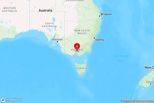
Smiths Gully, Panton Hill - St Andrews, Nillumbik - Kinglake, Melbourne - North East, Victoria, Australia, 3760
Smiths Gully Postcode
Area Name
Smiths GullySmiths Gully Suburb Area Map (Polygon)

Smiths Gully Introduction
Smiths Gully is a suburb located in Melbourne's north-east, 11 kilometers from the city center. It is home to a variety of shops, restaurants, and parks, including the popular Smiths Gully Reserve. The suburb has a mix of residential and commercial properties and is well-serviced by public transport. It is also known for its beautiful tree-lined streets and peaceful atmosphere.State Name
City or Big Region
District or Regional Area
Suburb Name
Smiths Gully Region Map

Country
Main Region in AU
R3Coordinates
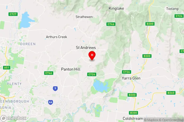
-37.6267001,145.2867055 (latitude/longitude)Smiths Gully Area Map (Street)

Longitude
145.288073Latitude
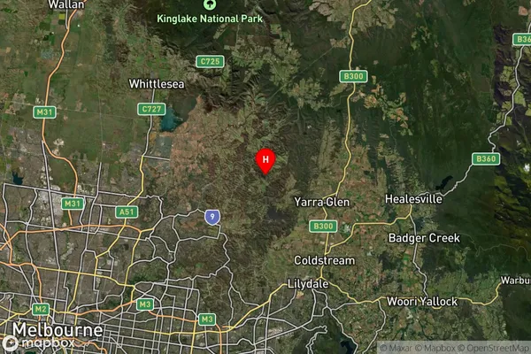
-37.624929Smiths Gully Suburb Map (Satellite)

Distances
The distance from Smiths Gully, Melbourne - North East, VIC to AU Greater Capital CitiesSA1 Code 2011
20903121204SA1 Code 2016
20903121204SA2 Code
209031212SA3 Code
20903SA4 Code
209RA 2011
2RA 2016
2MMM 2015
2MMM 2019
2Charge Zone
V1LGA Region
NillumbikLGA Code
25710Electorate
McEwen