Panton Hill Area, Panton Hill Postcode(3759) & Map in Panton Hill, Melbourne - North East, VIC
Panton Hill Area, Panton Hill Postcode(3759) & Map in Panton Hill, Melbourne - North East, VIC, AU, Postcode: 3759
Panton Hill, Panton Hill - St Andrews, Nillumbik - Kinglake, Melbourne - North East, Victoria, Australia, 3759
Panton Hill Postcode
Area Name
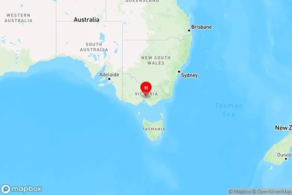
Panton HillPanton Hill Suburb Area Map (Polygon)

Panton Hill Introduction
Panton Hill is a suburb in Melbourne's north-east, located 5.5 kilometers from the CBD. It is known for its historic homes and gardens and is home to a variety of shops and cafes. The area is also popular with cyclists and walkers due to its many scenic trails. Panton Hill has a rich history dating back to the 1850s, and many of its buildings are listed on the Victorian Heritage Register.State Name
City or Big Region
District or Regional Area
Suburb Name
Panton Hill Region Map

Country
Main Region in AU
R3Coordinates
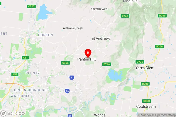
-37.6400391,145.2424941 (latitude/longitude)Panton Hill Area Map (Street)

Longitude
145.247277Latitude
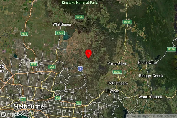
-37.650385Panton Hill Suburb Map (Satellite)

Distances
The distance from Panton Hill, Melbourne - North East, VIC to AU Greater Capital CitiesSA1 Code 2011
20903121220SA1 Code 2016
20903121220SA2 Code
209031212SA3 Code
20903SA4 Code
209RA 2011
1RA 2016
1MMM 2015
1MMM 2019
1Charge Zone
V1LGA Region
NillumbikLGA Code
25710Electorate
McEwen