Diamond Creek Area, Diamond Creek Postcode(3089) & Map in Diamond Creek, Melbourne - North East, VIC
Diamond Creek Area, Diamond Creek Postcode(3089) & Map in Diamond Creek, Melbourne - North East, VIC, AU, Postcode: 3089
Diamond Creek, Wattle Glen - Diamond Creek, Nillumbik - Kinglake, Melbourne - North East, Victoria, Australia, 3089
Diamond Creek Postcode
Area Name
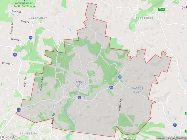
Diamond CreekDiamond Creek Suburb Area Map (Polygon)

Diamond Creek Introduction
Diamond Creek is a suburb located in the North East of Melbourne, Victoria, Australia. It is approximately 20 kilometers from the Melbourne CBD and is known for its scenic bushland and tranquil atmosphere. The suburb has a variety of housing options, including single-family homes, townhouses, and apartments, and is popular with families and young professionals. Diamond Creek has a number of parks and recreational facilities, including the Diamond Creek Reserve, which features walking trails, picnic areas, and a playground. The suburb also has a shopping center, a medical center, and a number of schools.State Name
City or Big Region
District or Regional Area
Suburb Name
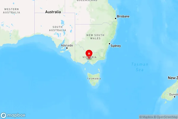
Diamond Creek Region Map

Country
Main Region in AU
R1Coordinates
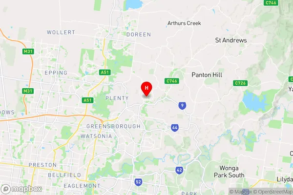
-37.6666174,145.1541397 (latitude/longitude)Diamond Creek Area Map (Street)

Longitude
145.150369Latitude
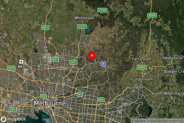
-37.667713Diamond Creek Suburb Map (Satellite)

Distances
The distance from Diamond Creek, Melbourne - North East, VIC to AU Greater Capital CitiesSA1 Code 2011
20903121505SA1 Code 2016
20903121505SA2 Code
209031215SA3 Code
20903SA4 Code
209RA 2011
1RA 2016
1MMM 2015
1MMM 2019
1Charge Zone
V1LGA Region
BanyuleLGA Code
20660Electorate
Jagajaga