Plenty Area, Plenty Postcode(3090) & Map in Plenty, Melbourne - North East, VIC
Plenty Area, Plenty Postcode(3090) & Map in Plenty, Melbourne - North East, VIC, AU, Postcode: 3090
Plenty, Plenty - Yarrambat, Nillumbik - Kinglake, Melbourne - North East, Victoria, Australia, 3090
Plenty Postcode
Area Name
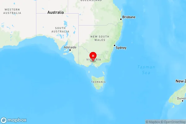
PlentyPlenty Suburb Area Map (Polygon)

Plenty Introduction
Plenty, Melbourne - North East, VIC, AU, is a suburb located 10 kilometers northeast of Melbourne's central business district. It is part of the City of Moreland local government area and is home to a diverse population. The suburb has a variety of housing options, including apartments, units, and houses. It is well-connected to public transportation, with several bus routes and the North East Link freeway nearby. Plenty has several parks and recreational facilities, including the Plenty River Trail, Plenty Park, and the Plenty Valley Sports Complex. The suburb also has a number of shopping centers, including Plenty Valley Shopping Centre and North East Shopping Centre.State Name
City or Big Region
District or Regional Area
Suburb Name
Plenty Region Map

Country
Main Region in AU
R1Coordinates
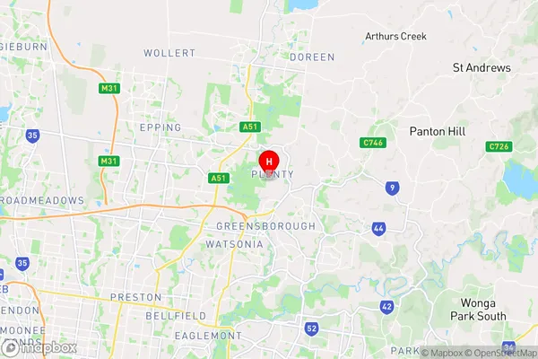
-37.670486,145.1099967 (latitude/longitude)Plenty Area Map (Street)

Longitude
145.107802Latitude
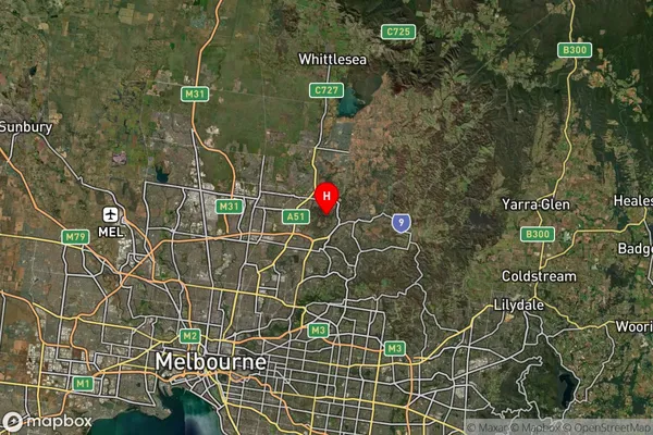
-37.668408Plenty Suburb Map (Satellite)

Distances
The distance from Plenty, Melbourne - North East, VIC to AU Greater Capital CitiesSA1 Code 2011
20903121301SA1 Code 2016
20903121301SA2 Code
209031213SA3 Code
20903SA4 Code
209RA 2011
1RA 2016
1MMM 2015
1MMM 2019
1Charge Zone
V1LGA Region
BanyuleLGA Code
20660Electorate
Jagajaga