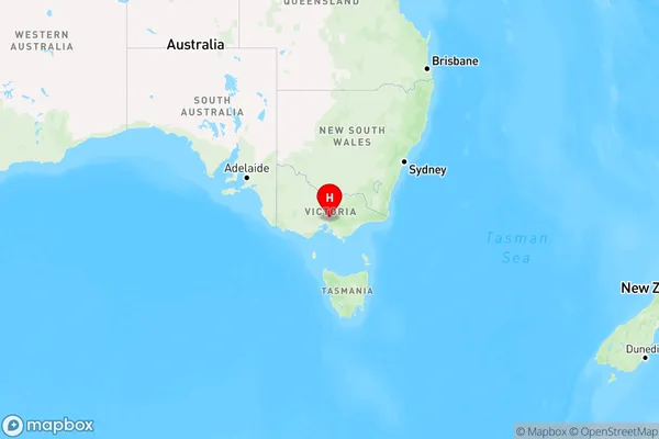
Cottles Bridge Area, Cottles Bridge Postcode(3099) & Map in Cottles Bridge, Melbourne - North East, VIC
Cottles Bridge Area, Cottles Bridge Postcode(3099) & Map in Cottles Bridge, Melbourne - North East, VIC, AU, Postcode: 3099
Cottles Bridge, Panton Hill - St Andrews, Nillumbik - Kinglake, Melbourne - North East, Victoria, Australia, 3099
Cottles Bridge Postcode
Area Name
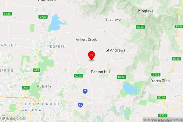
Cottles BridgeCottles Bridge Suburb Area Map (Polygon)

Cottles Bridge Introduction
Cottles Bridge is a suburb in Melbourne, Australia, located in the state of Victoria. It is in the local government area of the City of Moreland. Cottles Bridge is named after the bridge that crosses the Yarra River. The bridge was built in 1889 and is a popular spot for fishing and swimming. Cottles Bridge has a variety of shops and cafes, as well as a community center and a park. It is also home to a number of sporting facilities, including a cricket club and a tennis club.State Name
City or Big Region
District or Regional Area
Suburb Name
Cottles Bridge Region Map

Country
Main Region in AU
R3Coordinates
-37.622,145.219 (latitude/longitude)Cottles Bridge Area Map (Street)

Longitude
145.192854Latitude
-37.592101Cottles Bridge Elevation
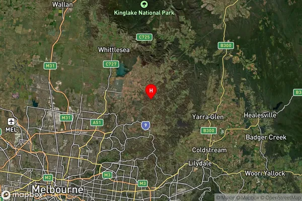
about 126.66 meters height above sea level (Altitude)Cottles Bridge Suburb Map (Satellite)

Distances
The distance from Cottles Bridge, Melbourne - North East, VIC to AU Greater Capital CitiesSA1 Code 2011
20903121215SA1 Code 2016
20903121215SA2 Code
209031212SA3 Code
20903SA4 Code
209RA 2011
2RA 2016
2MMM 2015
2MMM 2019
2Charge Zone
V1LGA Region
NillumbikLGA Code
25710Electorate
McEwen