Watsons Creek Area, Watsons Creek Postcode(3097) & Map in Watsons Creek, Melbourne - North East, VIC
Watsons Creek Area, Watsons Creek Postcode(3097) & Map in Watsons Creek, Melbourne - North East, VIC, AU, Postcode: 3097
Watsons Creek, Panton Hill - St Andrews, Nillumbik - Kinglake, Melbourne - North East, Victoria, Australia, 3097
Watsons Creek Postcode
Area Name
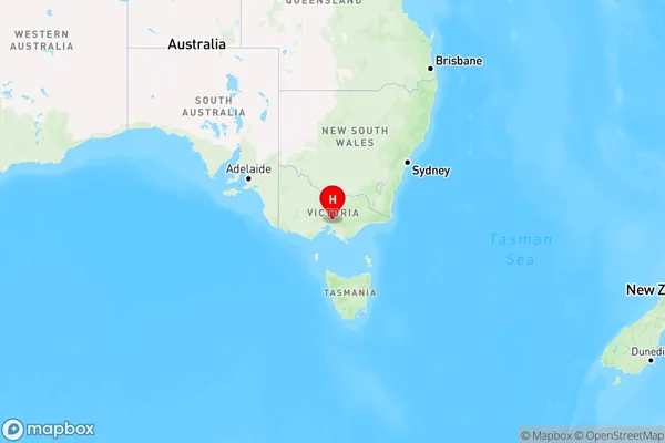
Watsons CreekWatsons Creek Suburb Area Map (Polygon)

Watsons Creek Introduction
Watsons Creek is a suburb in Melbourne's north-east, located 12 kilometers from the city center. It is part of the City of Hume and has a population of around 10,000 people. The suburb has a variety of shops, cafes, and parks and is known for its peaceful atmosphere and scenic surroundings. It is also home to the Watsons Creek Regional Park, which offers a range of outdoor activities such as walking, cycling, and picnicking.State Name
City or Big Region
District or Regional Area
Suburb Name
Watsons Creek Region Map

Country
Main Region in AU
R3Coordinates
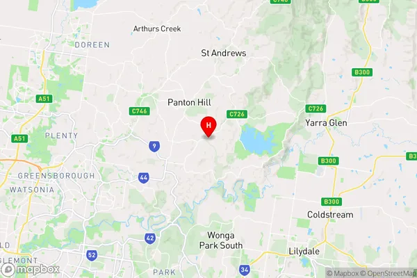
-37.67,145.258 (latitude/longitude)Watsons Creek Area Map (Street)

Longitude
145.224204Latitude
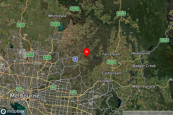
-37.695254Watsons Creek Suburb Map (Satellite)

Distances
The distance from Watsons Creek, Melbourne - North East, VIC to AU Greater Capital CitiesSA1 Code 2011
20903121212SA1 Code 2016
20903121212SA2 Code
209031212SA3 Code
20903SA4 Code
209RA 2011
2RA 2016
2MMM 2015
2MMM 2019
2Charge Zone
V1LGA Region
ManninghamLGA Code
24210Electorate
Menzies