Warburton Area, Warburton Postcode(3799) & Map in Warburton, Melbourne - Outer East, VIC
Warburton Area, Warburton Postcode(3799) & Map in Warburton, Melbourne - Outer East, VIC, AU, Postcode: 3799
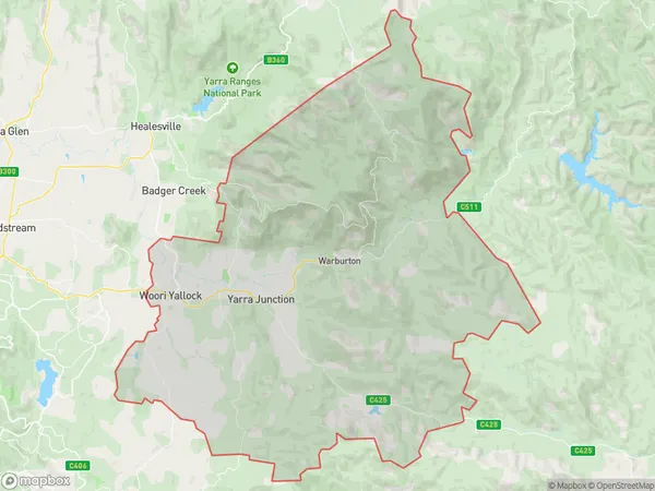
Warburton, Yarra Valley, Yarra Ranges, Melbourne - Outer East, Victoria, Australia, 3799
Warburton Postcode
Area Name
WarburtonWarburton Suburb Area Map (Polygon)
Warburton Introduction
Warburton is a town in the outer east of Melbourne, Victoria, Australia, located 55 km east of Melbourne's central business district. It is known for its scenic beauty, including the Warburton Trail, a popular walking and cycling route. The town has a population of approximately 3,500 people and is a popular destination for tourists and outdoor enthusiasts.State Name
City or Big Region
District or Regional Area
Suburb Name
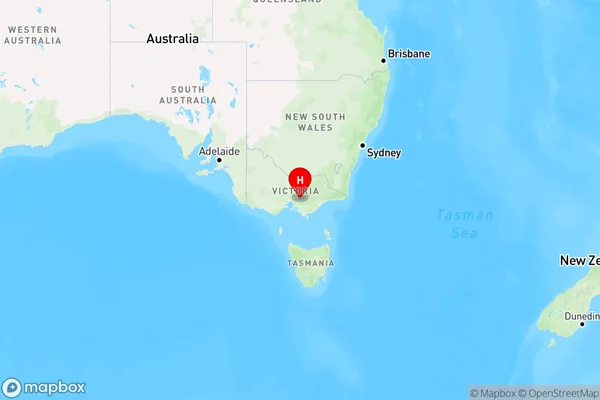
Warburton Region Map
Country
Main Region in AU
R3Coordinates
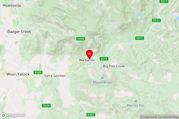
-37.7525378,145.6948397 (latitude/longitude)Warburton Area Map (Street)
Longitude
145.818512Latitude
-37.727566Warburton Elevation
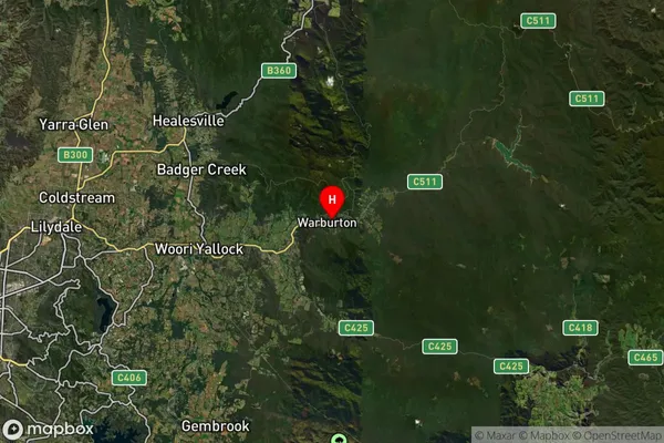
about 366.79 meters height above sea level (Altitude)Warburton Suburb Map (Satellite)
Distances
The distance from Warburton, Melbourne - Outer East, VIC to AU Greater Capital CitiesSA1 Code 2011
21105128623SA1 Code 2016
21105128623SA2 Code
211051286SA3 Code
21105SA4 Code
211RA 2011
2RA 2016
2MMM 2015
5MMM 2019
5Charge Zone
V1LGA Region
Yarra RangesLGA Code
27450Electorate
Casey