Chirnside Park Area, Chirnside Park Postcode(3116) & Map in Chirnside Park, Melbourne - Outer East, VIC
Chirnside Park Area, Chirnside Park Postcode(3116) & Map in Chirnside Park, Melbourne - Outer East, VIC, AU, Postcode: 3116
Chirnside Park, Chirnside Park, Yarra Ranges, Melbourne - Outer East, Victoria, Australia, 3116
Chirnside Park Postcode
Area Name
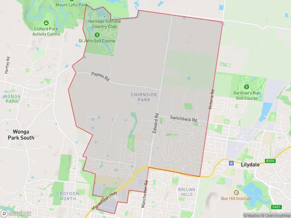
Chirnside ParkChirnside Park Suburb Area Map (Polygon)

Chirnside Park Introduction
Chirnside Park is a large suburban park located in the eastern suburbs of Melbourne, Victoria, Australia. It is home to a variety of wildlife, including birds, mammals, and reptiles. The park has a number of walking trails, picnic areas, and playgrounds, and is a popular destination for families and outdoor enthusiasts. The park is also home to a number of historic buildings, including the Chirnside Park mansion, which was built in the 1890s.State Name
City or Big Region
District or Regional Area
Suburb Name
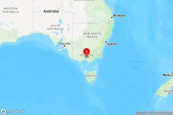
Chirnside Park Region Map

Country
Main Region in AU
R1Coordinates
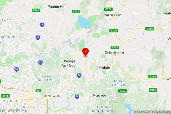
-37.7373267,145.3088196 (latitude/longitude)Chirnside Park Area Map (Street)

Longitude
145.313086Latitude
-37.737629Chirnside Park Elevation
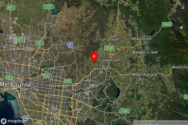
about 91.31 meters height above sea level (Altitude)Chirnside Park Suburb Map (Satellite)

Distances
The distance from Chirnside Park, Melbourne - Outer East, VIC to AU Greater Capital CitiesSA1 Code 2011
21105127517SA1 Code 2016
21105127517SA2 Code
211051275SA3 Code
21105SA4 Code
211RA 2011
1RA 2016
1MMM 2015
1MMM 2019
1Charge Zone
V1LGA Region
MaroondahLGA Code
24410Electorate
Casey