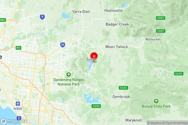
Monbulk Silvan Suburbs & Region, Monbulk Silvan Map & Postcodes
Monbulk Silvan Suburbs & Region, Monbulk Silvan Map & Postcodes in Monbulk Silvan, Yarra Ranges, Melbourne Outer East, VIC, AU
Monbulk Silvan Region
Region Name
Monbulk Silvan (VIC, AU)Monbulk Silvan Area
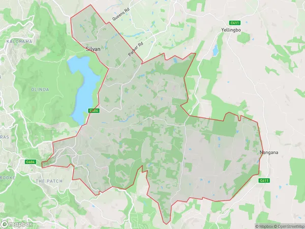
68.56 square kilometers (68.56 ㎢)Postal Codes
3782, 3793, and 3795 (In total, there are 3 postcodes in Monbulk Silvan.)Monbulk Silvan Introduction
Monbulk Silvan is a locality in the Dandenong Ranges, Victoria, Australia. It is located in the City of Monash local government area. The post office opened as Monbulk on 1 August 1924 and was closed on 20 March 1975. The present post office opened as Silvan on 1 July 1976 and was closed on 1 February 1984. The Silvan railway station was located on the Belgrave line. It opened in 1889 and closed in 1966. The Monbulk Creek, a tributary of the Dandenong Creek, flows through the locality. The 2016 Census recorded 3,761 people living in Monbulk Silvan. 94.1% of people were born in Australia and 5.9% of people were born overseas. The most common languages spoken were English 92.7%, Mandarin 2.7%, and Italian 1.4%. 91.6% of people only spoke English at home.Australia State
City or Big Region
Greater Capital City
Greater Melbourne (2GMEL)District or Regional Area
Suburb Name
Monbulk Silvan Region Map

Monbulk Silvan Postcodes / Zip Codes
Monbulk Silvan Suburbs
Monbulk Silvan full address
Monbulk Silvan, Yarra Ranges, Melbourne Outer East, Victoria, VIC, Australia, SaCode: 211051279Country
Monbulk Silvan, Yarra Ranges, Melbourne Outer East, Victoria, VIC, Australia, SaCode: 211051279
Monbulk Silvan Suburbs & Region, Monbulk Silvan Map & Postcodes has 0 areas or regions above, and there are 3 Monbulk Silvan suburbs below. The sa2code for the Monbulk Silvan region is 211051279. Its latitude and longitude coordinates are -37.8343,145.431. Monbulk Silvan area belongs to Australia's greater capital city Greater Melbourne.
Monbulk Silvan Suburbs & Localities
1. Macclesfield
2. Monbulk
3. Silvan
