Lilydale Area, Lilydale Postcode(3140) & Map in Lilydale, Melbourne - Outer East, VIC
Lilydale Area, Lilydale Postcode(3140) & Map in Lilydale, Melbourne - Outer East, VIC, AU, Postcode: 3140
Lilydale, Lilydale - Coldstream, Yarra Ranges, Melbourne - Outer East, Victoria, Australia, 3140
Lilydale Postcode
Area Name
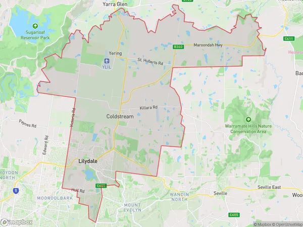
LilydaleLilydale Suburb Area Map (Polygon)

Lilydale Introduction
Lilydale is a suburb in Melbourne's outer east, located 12 kilometers from the city center. It is known for its beautiful gardens, scenic parks, and tranquil atmosphere. The suburb has a diverse population and is home to many families, young professionals, and retirees. It is also home to several popular attractions, including the Lilydale Lake, the Lilydale Showground, and the Eastland Shopping Center.State Name
City or Big Region
District or Regional Area
Suburb Name
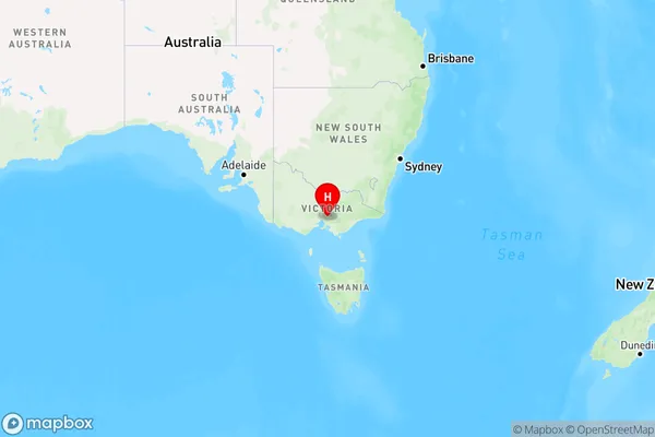
Lilydale Region Map

Country
Main Region in AU
R1Coordinates
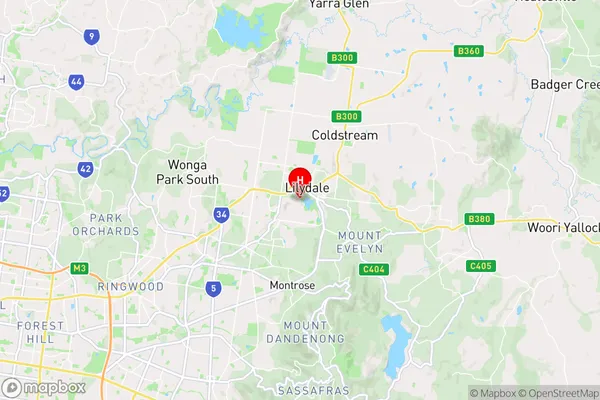
-37.7643547,145.3475331 (latitude/longitude)Lilydale Area Map (Street)

Longitude
145.363185Latitude
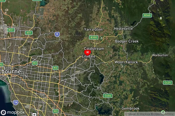
-37.759154Lilydale Suburb Map (Satellite)

Distances
The distance from Lilydale, Melbourne - Outer East, VIC to AU Greater Capital CitiesSA1 Code 2011
21105127802SA1 Code 2016
21105127802SA2 Code
211051278SA3 Code
21105SA4 Code
211RA 2011
1RA 2016
1MMM 2015
1MMM 2019
1Charge Zone
V1LGA Region
MaroondahLGA Code
24410Electorate
Casey