Coldstream Area, Coldstream Postcode(3770) & Map in Coldstream, Melbourne - Outer East, VIC
Coldstream Area, Coldstream Postcode(3770) & Map in Coldstream, Melbourne - Outer East, VIC, AU, Postcode: 3770
Coldstream, Lilydale - Coldstream, Yarra Ranges, Melbourne - Outer East, Victoria, Australia, 3770
Coldstream Postcode
Area Name
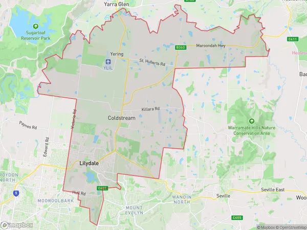
ColdstreamColdstream Suburb Area Map (Polygon)
Coldstream Introduction
Coldstream is a suburb of Melbourne, located in the outer east of the state of Victoria, Australia. It is known for its scenic beauty, including the Yarra River and the Dandenong Ranges. Coldstream is also home to several wineries and restaurants.State Name
City or Big Region
District or Regional Area
Suburb Name
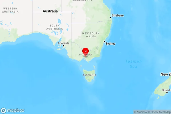
Coldstream Region Map
Country
Main Region in AU
R3Coordinates
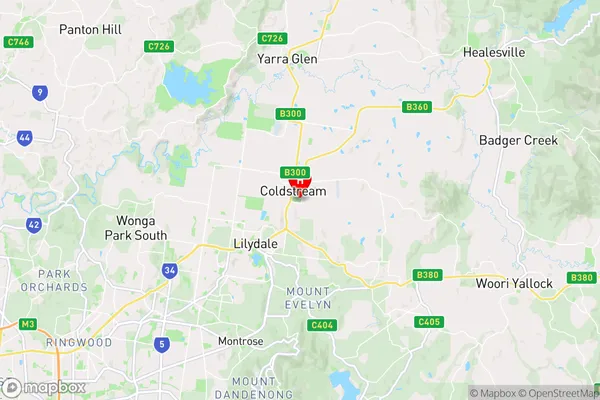
-37.734,145.383 (latitude/longitude)Coldstream Area Map (Street)
Longitude
145.416004Latitude
-37.708784Coldstream Elevation
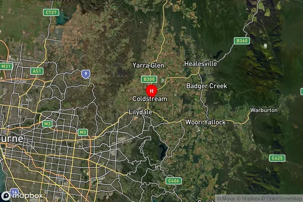
about 81.83 meters height above sea level (Altitude)Coldstream Suburb Map (Satellite)
Distances
The distance from Coldstream, Melbourne - Outer East, VIC to AU Greater Capital CitiesSA1 Code 2011
21105127842SA1 Code 2016
21105127842SA2 Code
211051278SA3 Code
21105SA4 Code
211RA 2011
1RA 2016
1MMM 2015
1MMM 2019
1Charge Zone
V1LGA Region
MaroondahLGA Code
24410Electorate
Casey