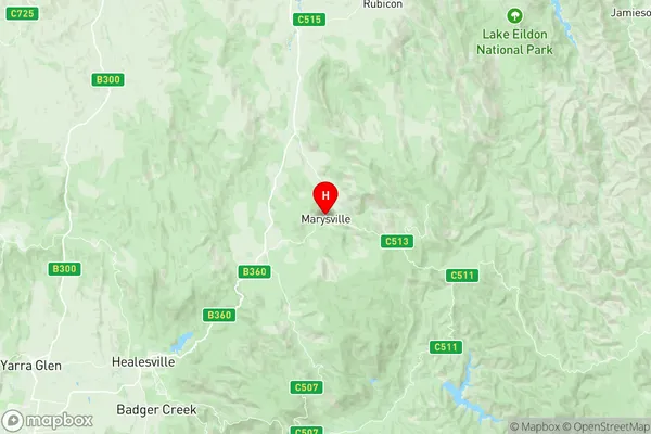
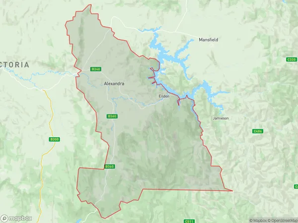
Alexandra Suburbs & Region, Alexandra Map & Postcodes
Alexandra Suburbs & Region, Alexandra Map & Postcodes in Alexandra, Yarra Ranges, Melbourne Outer East, VIC, AU
Alexandra Region
Region Name
Alexandra (VIC, AU)Alexandra Area
2119 square kilometers (2,119 ㎢)Postal Codes
from 3711 to 3714, 3719, 3778, and 3779 (In total, there are 7 postcodes in Alexandra.)Alexandra Introduction
Alexandra is a suburb in Melbourne, Australia, located in the state of Victoria. It is 12 kilometers east of Melbourne's central business district (CBD). The suburb is named after Queen Alexandra of Denmark. It is primarily a residential area, with a mix of houses, apartments, and units. Alexandra has a variety of shops, cafes, and restaurants, as well as a community center and a library. The suburb is well-connected to public transportation, with several bus routes and a train station. It is also home to several parks and recreational facilities, including Alexandra Park and the Alexandra Gardens Golf Course.Australia State
City or Big Region
Greater Capital City
Rest of Vic. (2RVIC)District or Regional Area
Suburb Name
Alexandra Region Map

Alexandra Postcodes / Zip Codes
Alexandra Suburbs
Alexandra full address
Alexandra, Yarra Ranges, Melbourne Outer East, Victoria, VIC, Australia, SaCode: 204011054Country
Alexandra, Yarra Ranges, Melbourne Outer East, Victoria, VIC, Australia, SaCode: 204011054
Alexandra Suburbs & Region, Alexandra Map & Postcodes has 0 areas or regions above, and there are 21 Alexandra suburbs below. The sa2code for the Alexandra region is 204011054. Its latitude and longitude coordinates are -37.5084,145.747. Alexandra area belongs to Australia's greater capital city Rest of Vic..
Alexandra Suburbs & Localities
1. Eildon
2. Acheron
3. Cathkin
4. Devils River
5. Taggerty
6. Kanumbra
7. Marysville
8. Alexandra
9. Crystal Creek
10. Maintongoon
11. Terip Terip
12. Narbethong
13. Koriella
14. Whanregarwen
15. Buxton
16. Rubicon
17. Thornton
18. Taylor Bay
19. Fawcett
20. Gobur
21. Yarck
