Cathkin Area, Cathkin Postcode(3714) & Map in Cathkin, Hume, VIC
Cathkin Area, Cathkin Postcode(3714) & Map in Cathkin, Hume, VIC, AU, Postcode: 3714
Cathkin, Alexandra, Upper Goulburn Valley, Hume, Victoria, Australia, 3714
Cathkin Postcode
Area Name
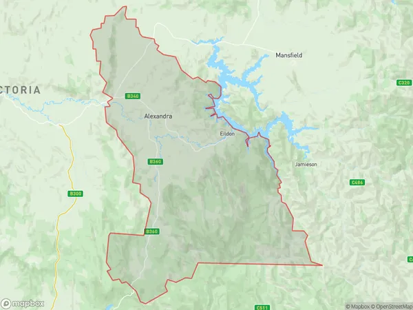
CathkinCathkin Suburb Area Map (Polygon)

Cathkin Introduction
Cathkin is a small township located in the Hume region of Victoria, Australia. It is situated in the Shire of Buloke, approximately 125 kilometers north-east of Melbourne. The town is named after the Cathkin River, which flows through it. Cathkin is known for its picturesque scenery, including the Cathkin Conservation Park and the Cathkin Gully Conservation Reserve. The town has a population of around 1,000 people and is a popular destination for outdoor enthusiasts, with many walking and cycling trails nearby.State Name
City or Big Region
District or Regional Area
Suburb Name
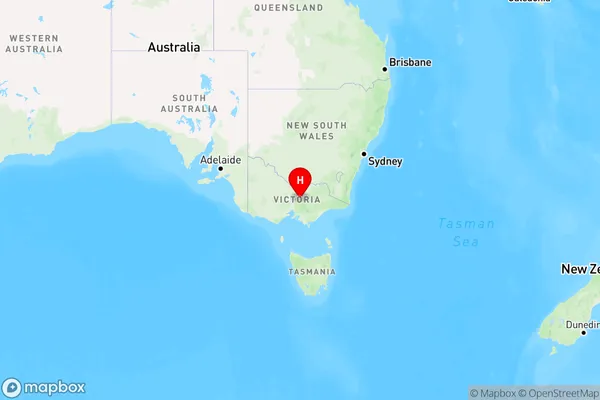
Cathkin Region Map

Country
Main Region in AU
R3Coordinates
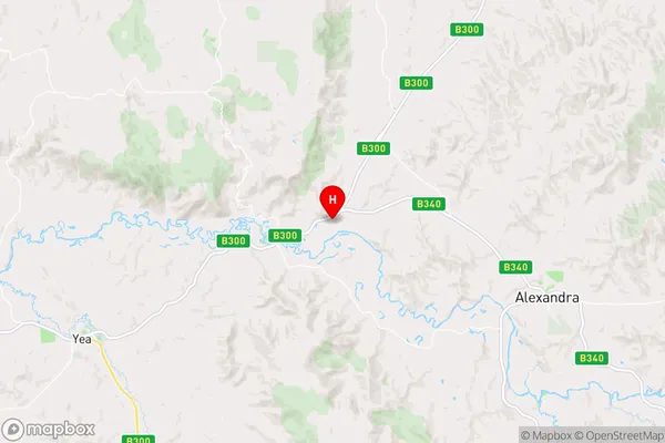
-37.1550013,145.5777492 (latitude/longitude)Cathkin Area Map (Street)

Longitude
145.687889Latitude
-37.210538Cathkin Elevation
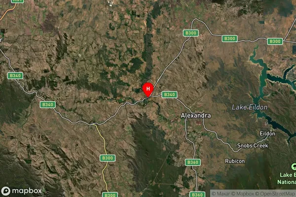
about 198.09 meters height above sea level (Altitude)Cathkin Suburb Map (Satellite)

Distances
The distance from Cathkin, Hume, VIC to AU Greater Capital CitiesSA1 Code 2011
20401105406SA1 Code 2016
20401105406SA2 Code
204011054SA3 Code
20401SA4 Code
204RA 2011
2RA 2016
2MMM 2015
5MMM 2019
5Charge Zone
V2LGA Region
MurrindindiLGA Code
25620Electorate
Indi