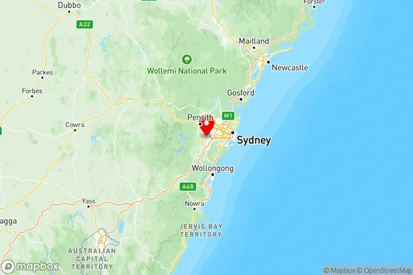
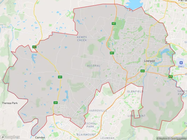
Sydney South West Suburbs & Region, Sydney South West Map & Postcodes
Sydney South West Suburbs & Region, Sydney South West Map & Postcodes in Sydney South West, NSW, AU
Sydney South West Region
Region Name
Sydney South West (NSW, AU)Sydney South West Area
540.28 square kilometers (540.28 ㎢)Postal Codes
1851, 1860, 1871, 1874, 1875, 1891, 2148, from 2164 to 2166, 2168, from 2170 to 2179, 2214, from 2555 to 2557, 2570, 2745, and 2752 (In total, there are 28 postcodes in Sydney South West.)Sydney South West Introduction
Sydney South West is a suburb in the local government area of the City of Campbelltown of New South Wales, Australia. It is located 37 kilometers southwest of Sydney's central business district and is part of the Macarthur region. The suburb is named after the South West railway line that runs through it. It is home to a number of major facilities, including the Campbelltown Arts Centre, Campbelltown Hospital, and the Campbelltown Sports Stadium. The population of Sydney South West was 40,683 at the 2016 census.Australia State
City or Big Region
Sydney South West Region Map

Sydney South West Postcodes / Zip Codes
Sydney South West Suburbs
Bringelly Green Valley
Sydney South West full address
Sydney South West, New South Wales, NSW, Australia, SaCode: 127Country
Sydney South West, New South Wales, NSW, Australia, SaCode: 127
Sydney South West Suburbs & Region, Sydney South West Map & Postcodes has 3 areas or regions above, and there are 117 Sydney South West suburbs below. The sa4code for the Sydney South West region is 127. Its latitude and longitude coordinates are -33.9311,150.794.
Sydney South West Suburbs & Localities
1. Moorebank
2. Blacktown
3. Milperra
4. Grasmere
5. Ingleburn Milpo
6. Glenmore Park
7. Silverdale
8. Wentworth Port
9. Fairfield East
10. Woodpark
11. Miller
12. Austral
13. Rossmore
14. Bringelly
15. Badgerys Creek
16. Cecil Hills
17. Bossley Park
18. Lansvale
19. Mount Pritchard
20. Fairfield
21. Mount Vernon
22. Horsley Park
23. Wetherill Park Dc
24. Pleasure Point
25. Holsworthy
26. Liverpool
