Rossmore Area, Rossmore Postcode(2557) & Map in Rossmore, Sydney - South West, NSW
Rossmore Area, Rossmore Postcode(2557) & Map in Rossmore, Sydney - South West, NSW, AU, Postcode: 2557
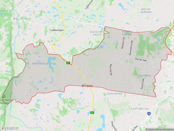
Rossmore, Austral - Greendale, Bringelly - Green Valley, Sydney - South West, New South Wales, Australia, 2557
Rossmore Postcode
Area Name
RossmoreRossmore Suburb Area Map (Polygon)
Rossmore Introduction
Rossmore is a suburb in Sydney's south-west, 6 kilometres from the CBD. It is known for its leafy streets, historic homes, and well-regarded schools. The suburb has a vibrant community and a variety of shops, cafes, and restaurants. Rossmore is also home to the Australian Institute of Music and the Sydney Jewish Museum.State Name
City or Big Region
District or Regional Area
Suburb Name
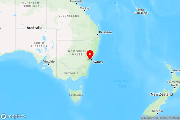
Rossmore Region Map
Country
Main Region in AU
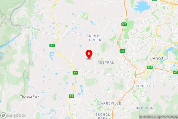
R1Coordinates
-33.9224,150.76964 (latitude/longitude)Rossmore Area Map (Street)
Longitude
150.774858Latitude
-33.993545Rossmore Elevation
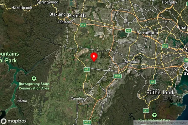
about 94.24 meters height above sea level (Altitude)Rossmore Suburb Map (Satellite)
Distances
The distance from Rossmore, Sydney - South West, NSW to AU Greater Capital CitiesSA1 Code 2011
12701150509SA1 Code 2016
12701150509SA2 Code
127011505SA3 Code
12701SA4 Code
127RA 2011
1RA 2016
1MMM 2015
1MMM 2019
1Charge Zone
N1LGA Region
CamdenLGA Code
11450Electorate
Werriwa