Ingleburn Milpo Area, Ingleburn Milpo Postcode(2174) & Map in Ingleburn Milpo, Sydney - Outer South West, NSW
Ingleburn Milpo Area, Ingleburn Milpo Postcode(2174) & Map in Ingleburn Milpo, Sydney - Outer South West, NSW, AU, Postcode: 2174
Ingleburn Milpo, Ingleburn - Denham Court, Campbelltown (NSW), Sydney - Outer South West, New South Wales, Australia, 2174
Ingleburn Milpo Postcode
Area Name
Ingleburn MilpoIngleburn Milpo Suburb Area Map (Polygon)

Ingleburn Milpo Introduction
Ingleburn Milpo is a suburb in the Macarthur region of Sydney, New South Wales, Australia. It is located 38 kilometers south-west of the Sydney central business district and is part of the City of Campbelltown. The suburb is named after the Milpo Creek that runs through it. Ingleburn Milpo has a variety of shops, cafes, and restaurants and is home to several large parks and recreational facilities, including the Ingleburn Sports Complex and the John Edmondson Reserve.State Name
City or Big Region
District or Regional Area
Suburb Name
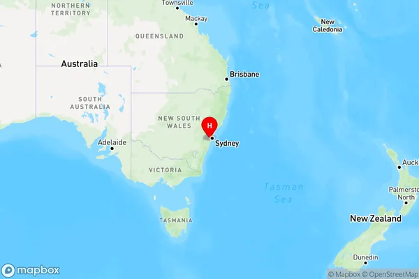
Ingleburn Milpo Region Map

Country
Main Region in AU
R1Coordinates
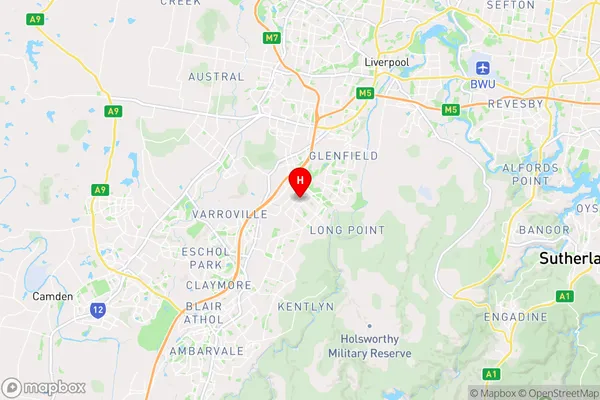
-33.9984,150.866 (latitude/longitude)Ingleburn Milpo Area Map (Street)

Longitude
150.856709Latitude
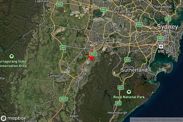
-33.977497Ingleburn Milpo Suburb Map (Satellite)

Distances
The distance from Ingleburn Milpo, Sydney - Outer South West, NSW to AU Greater Capital CitiesSA1 Code 2011
12302144018SA1 Code 2016
12302144018SA2 Code
123021440SA3 Code
12302SA4 Code
123RA 2011
1RA 2016
1MMM 2015
1MMM 2019
1Charge Zone
N1LGA Region
LiverpoolLGA Code
14900Electorate
Werriwa