Pleasure Point Area, Pleasure Point Postcode(2172) & Map in Pleasure Point, Sydney - South West, NSW
Pleasure Point Area, Pleasure Point Postcode(2172) & Map in Pleasure Point, Sydney - South West, NSW, AU, Postcode: 2172
Pleasure Point, Holsworthy - Wattle Grove, Liverpool, Sydney - South West, New South Wales, Australia, 2172
Pleasure Point Postcode
Area Name
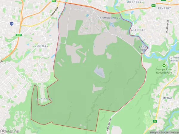
Pleasure PointPleasure Point Suburb Area Map (Polygon)

Pleasure Point Introduction
Pleasure Point is a suburb in the South West of Sydney, New South Wales, Australia. It is located 32 kilometres south of the Sydney central business district and is part of the Macarthur region. The suburb is named after Pleasure Point, a small rocky headland that forms the southernmost point of the suburb. Pleasure Point is known for its beautiful beaches, scenic coastline, and vibrant community. It is a popular destination for tourists and locals alike, with many cafes, restaurants, and parks to enjoy.State Name
City or Big Region
District or Regional Area
Suburb Name
Pleasure Point Region Map

Country
Main Region in AU
R1Coordinates
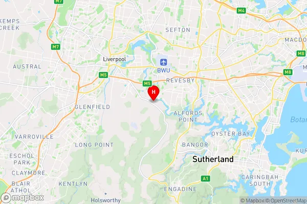
-33.96776,150.978 (latitude/longitude)Pleasure Point Area Map (Street)

Longitude
150.917444Latitude
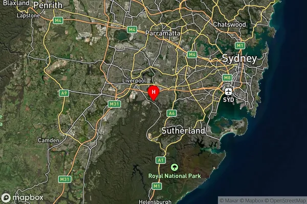
-33.951109Pleasure Point Suburb Map (Satellite)

Distances
The distance from Pleasure Point, Sydney - South West, NSW to AU Greater Capital CitiesSA1 Code 2011
12703152436SA1 Code 2016
12703152436SA2 Code
127031524SA3 Code
12703SA4 Code
127RA 2011
1RA 2016
1MMM 2015
1MMM 2019
1Charge Zone
N1LGA Region
LiverpoolLGA Code
14900Electorate
Hughes