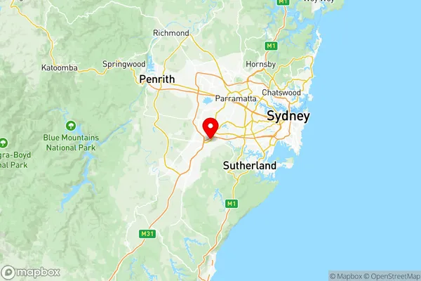
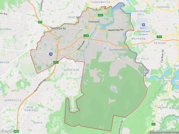
Liverpool Suburbs & Region, Liverpool Map & Postcodes
Liverpool Suburbs & Region, Liverpool Map & Postcodes in Liverpool, Sydney South West, NSW, AU
Liverpool Region
Region Name
Liverpool (NSW, AU)Liverpool Area
124.98 square kilometers (124.98 ㎢)Postal Codes
1871, 1874, 1875, 1891, 2168, from 2170 to 2174, and 2214 (In total, there are 11 postcodes in Liverpool.)Liverpool Introduction
Liverpool is a suburb of Sydney, located in the state of New South Wales, Australia. It is situated in the City of Liverpool and is part of the Greater Western Sydney region. Liverpool is known for its vibrant cultural scene, with a rich history of music and art. The suburb has a diverse population and is home to many different ethnic communities. It is also home to several major shopping centers, including Westfield Liverpool and Liverpool Central. Liverpool is well-connected to other parts of Sydney, with easy access to the M5 motorway and public transportation. The suburb is also home to several parks and recreational facilities, including Liverpool Park and Moore Park.Australia State
City or Big Region
District or Regional Area
Liverpool Region Map

Liverpool Postcodes / Zip Codes
Liverpool Suburbs
Ingleburn Denham Court
Ashcroft Busby Miller
Hoxton Park Carnes Hill Horningsea Park
West Hoxton Middleton Grange
Cabramatta West Mount Pritchard
Chipping Norton Moorebank
Holsworthy Wattle Grove
Lurnea Cartwright
Prestons Edmondson Park
Liverpool full address
Liverpool, Sydney South West, New South Wales, NSW, Australia, SaCode: 12703Country
Liverpool, Sydney South West, New South Wales, NSW, Australia, SaCode: 12703
Liverpool Suburbs & Region, Liverpool Map & Postcodes has 19 areas or regions above, and there are 40 Liverpool suburbs below. The sa3code for the Liverpool region is 12703. Its latitude and longitude coordinates are -33.9504,150.904.
Liverpool Suburbs & Localities
1. Moorebank
2. Milperra
3. Liverpool
4. Moorebank
5. Miller
6. Lurnea
7. Mount Pritchard
8. Prestons
9. Warwick Farm
10. Elizabeth Hills
11. Hoxton Park
12. West Hoxton
13. Pleasure Point
14. Sandy Point
15. Ingleburn Milpo
16. Cartwright
17. Casula Mall
18. Chipping Norton
19. Hammondville
20. Liverpool
21. Moorebank
22. Cecil Hills
23. Holsworthy
24. Edmondson Park
25. Ashcroft
26. Sadleir
27. Liverpool South
28. Liverpool Westfield
29. Carnes Hill
30. Horningsea Park
31. Voyager Point
32. Wattle Grove
33. Busby
34. Green Valley
35. Heckenberg
36. Hinchinbrook
37. Casula
38. Len Waters Estate
39. Middleton Grange
40. Milperra
