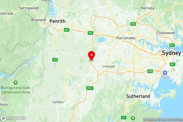
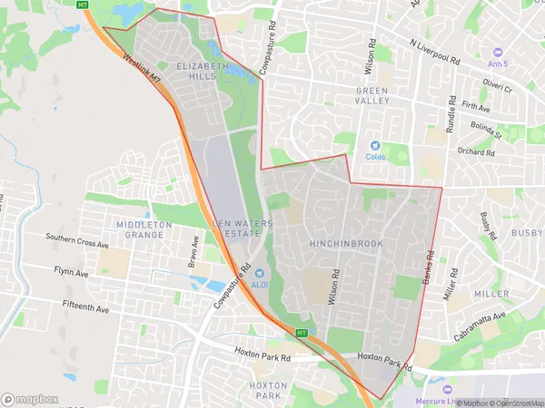
Hinchinbrook Suburbs & Region, Hinchinbrook Map & Postcodes
Hinchinbrook Suburbs & Region, Hinchinbrook Map & Postcodes in Hinchinbrook, Liverpool, Sydney South West, NSW, AU
Hinchinbrook Region
Region Name
Hinchinbrook (NSW, AU)Hinchinbrook Area
5.23 square kilometers (5.23 ㎢)Postal Codes
2168, and 2171 (In total, there are 2 postcodes in Hinchinbrook.)Hinchinbrook Introduction
Hinchinbrook is a suburb in the City of Blue Mountains, New South Wales, Australia. It is located 80 kilometers west of Sydney's central business district and is part of the Greater Western Sydney region. The suburb is named after Hinchinbrook Island, which is part of the Hinchinbrook Channel. Hinchinbrook is known for its natural beauty, with lush forests, waterfalls, and a variety of wildlife. The area has several parks and recreational facilities, including the Hinchinbrook Island National Park, which is a World Heritage Site. The suburb has a population of around 10,000 people and is home to a diverse range of cultures and backgrounds.Australia State
City or Big Region
Greater Capital City
Greater Sydney (1GSYD)District or Regional Area
Suburb Name
Hinchinbrook Region Map

Hinchinbrook Postcodes / Zip Codes
Hinchinbrook Suburbs
Hinchinbrook full address
Hinchinbrook, Liverpool, Sydney South West, New South Wales, NSW, Australia, SaCode: 127011595Country
Hinchinbrook, Liverpool, Sydney South West, New South Wales, NSW, Australia, SaCode: 127011595
Hinchinbrook Suburbs & Region, Hinchinbrook Map & Postcodes has 0 areas or regions above, and there are 3 Hinchinbrook suburbs below. The sa2code for the Hinchinbrook region is 127011595. Its latitude and longitude coordinates are -33.9001,150.848. Hinchinbrook area belongs to Australia's greater capital city Greater Sydney.
Hinchinbrook Suburbs & Localities
1. Elizabeth Hills
2. Hinchinbrook
3. Len Waters Estate
