Casula Area, Casula Postcode(2170) & Map in Casula, Sydney - South West, NSW
Casula Area, Casula Postcode(2170) & Map in Casula, Sydney - South West, NSW, AU, Postcode: 2170
Casula, Casula, Liverpool, Sydney - South West, New South Wales, Australia, 2170
Casula Postcode
Area Name
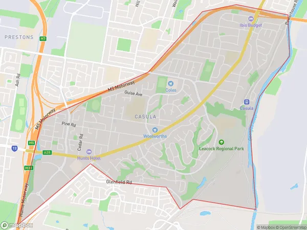
CasulaCasula Suburb Area Map (Polygon)

Casula Introduction
Casula, Sydney - South West, NSW, AU, is a suburb with a rich history and diverse culture. It is known for its shopping centers, parks, and recreational facilities, including the Casula Powerhouse Arts Center and the Casula Mall. The suburb has a large migrant population and is home to many different ethnic communities. It is also home to several significant historical sites, including the Casula War Memorial and the Casula Railway Workshops.State Name
City or Big Region
District or Regional Area
Suburb Name
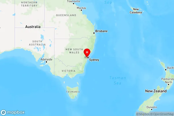
Casula Region Map

Country
Main Region in AU
R1Coordinates
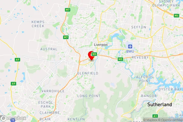
-33.9503864,150.9044946 (latitude/longitude)Casula Area Map (Street)

Longitude
150.921448Latitude
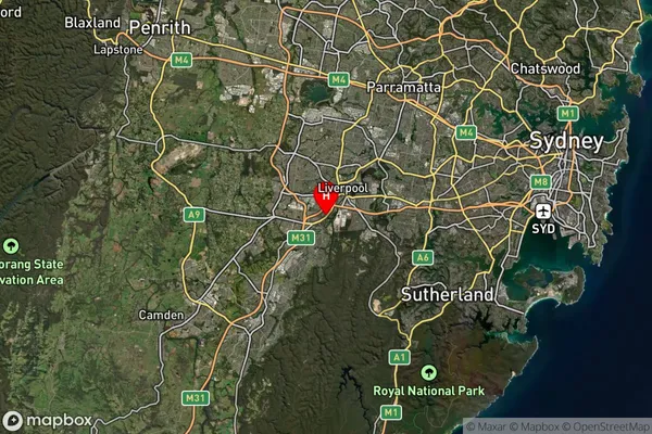
-33.928392Casula Suburb Map (Satellite)

Distances
The distance from Casula, Sydney - South West, NSW to AU Greater Capital CitiesSA1 Code 2011
12703152214SA1 Code 2016
12703152214SA2 Code
127031522SA3 Code
12703SA4 Code
127RA 2011
1RA 2016
1MMM 2015
1MMM 2019
1Charge Zone
N1LGA Region
FairfieldLGA Code
12850Electorate
Werriwa