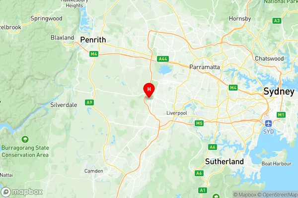
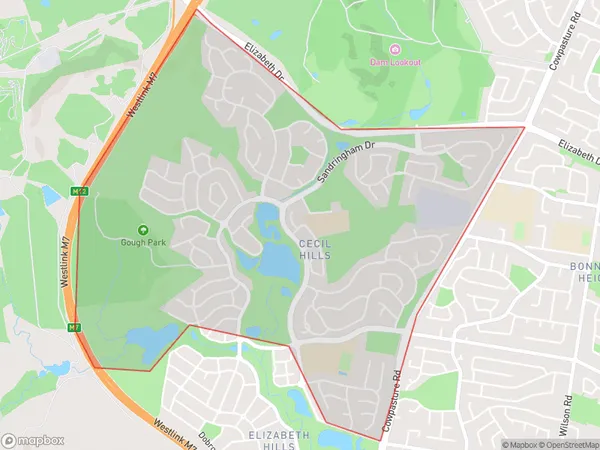
Cecil Hills Suburbs & Region, Cecil Hills Map & Postcodes
Cecil Hills Suburbs & Region, Cecil Hills Map & Postcodes in Cecil Hills, Liverpool, Sydney South West, NSW, AU
Cecil Hills Region
Region Name
Cecil Hills (NSW, AU)Cecil Hills Area
3.75 square kilometers (3.75 ㎢)Cecil Hills Introduction
Cecil Hills is a suburb located in the South West of Sydney, in the state of New South Wales, Australia. It is situated 31 kilometers southwest of the Sydney central business district and is part of the Macarthur region. The suburb is named after Cecil John Rhodes, a prominent Australian politician and businessman who was instrumental in the development of the region. Cecil Hills is a relatively new suburb, with most of the development occurring in the 1990s and 2000s. The suburb is characterized by a mix of residential and commercial properties, with a large number of shopping centers, parks, and recreational facilities. The area is also home to several major companies, including Toyota, Boeing, and Airbus. The suburb has a population of approximately 30,000 people and is known for its friendly community and affordable housing. Cecil Hills is well-connected to the rest of Sydney, with easy access to the M4 motorway and the South West Rail Line. The suburb also has a number of schools, including Cecil Hills High School and St John Paul II Catholic College. In conclusion, Cecil Hills is a vibrant and growing suburb located in the South West of Sydney, with a mix of residential and commercial properties and a friendly community. It is well-connected to the rest of Sydney and is known for its affordable housing and recreational facilities.Australia State
City or Big Region
Greater Capital City
Greater Sydney (1GSYD)District or Regional Area
Suburb Name
Cecil Hills Region Map

Cecil Hills Suburbs
Cecil Hills full address
Cecil Hills, Liverpool, Sydney South West, New South Wales, NSW, Australia, SaCode: 127011593Country
Cecil Hills, Liverpool, Sydney South West, New South Wales, NSW, Australia, SaCode: 127011593
Cecil Hills Suburbs & Region, Cecil Hills Map & Postcodes has 0 areas or regions above, and there are 0 Cecil Hills suburbs below. The sa2code for the Cecil Hills region is 127011593. Its latitude and longitude coordinates are -33.8877,150.849. Cecil Hills area belongs to Australia's greater capital city Greater Sydney.
