Milperra Area, Milperra Postcode(1891) & Map in Milperra, Sydney - Inner South West, NSW
Milperra Area, Milperra Postcode(1891) & Map in Milperra, Sydney - Inner South West, NSW, AU, Postcode: 1891
Milperra, Panania - Milperra - Picnic Point, Bankstown, Sydney - Inner South West, New South Wales, Australia, 1891
Milperra Postcode
Area Name
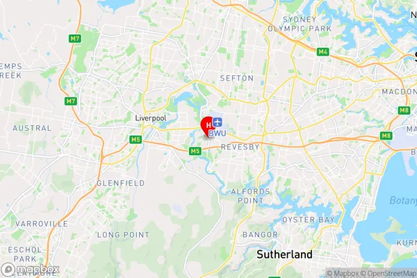
MilperraMilperra Suburb Area Map (Polygon)

Milperra Introduction
Milperra is a suburb in Sydney's inner-south-west, 12 kilometres south of the Sydney central business district. It is part of the Georges River Council local government area. Milperra is named after a locality in South Wales. It is home to the Milperra Sports Complex and the Southern Sydney Institute of TAFE.State Name
City or Big Region
District or Regional Area
Suburb Name
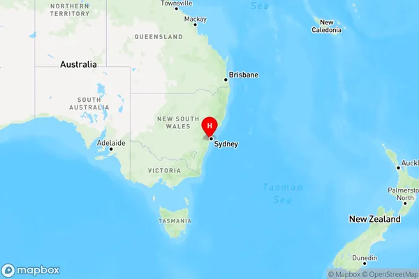
Milperra Region Map
Country
Main Region in AU
R1Coordinates
-33.9370869,150.9827465 (latitude/longitude)Milperra Area Map (Street)
Longitude
151.000183Latitude
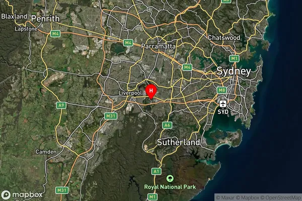
-33.932221Milperra Suburb Map (Satellite)
Distances
The distance from Milperra, Sydney - Inner South West, NSW to AU Greater Capital CitiesSA1 Code 2011
11901135944SA1 Code 2016
11901135944SA2 Code
119011359SA3 Code
11901SA4 Code
119RA 2011
1RA 2016
1MMM 2015
1MMM 2019
1Charge Zone
N1LGA Region
Canterbury-BankstownLGA Code
11570Electorate
Werriwa