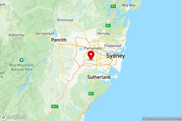
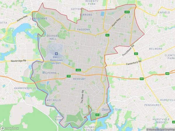
Bankstown Suburbs & Region, Bankstown Map & Postcodes
Bankstown Suburbs & Region, Bankstown Map & Postcodes in Bankstown, Sydney Inner South West, NSW, AU
Bankstown Region
Region Name
Bankstown (NSW, AU)Bankstown Area
68.67 square kilometers (68.67 ㎢)Postal Codes
2198, 2199, 2212, and 2213 (In total, there are 4 postcodes in Bankstown.)Bankstown Introduction
Bankstown is a suburb in Sydney, New South Wales, Australia, 13 kilometers southwest of the Sydney central business district. It is part of the City of Canterbury-Bankstown and is located on the banks of the Georges River. Bankstown is a multicultural suburb with a large population of immigrants from various countries, including India, Pakistan, and Bangladesh. The suburb has a variety of shops, restaurants, and cultural institutions, including the Bankstown Sports Club and the Bankstown Library. It is also home to the Bankstown Airport and the Bankstown Clinical School.Australia State
City or Big Region
District or Regional Area
Bankstown Region Map

Bankstown Postcodes / Zip Codes
Bankstown Suburbs
Bass Hill Georges Hall
Panania Milperra Picnic Point
Panania (North) Milperra
Panania (South) Picnic Point
Bankstown full address
Bankstown, Sydney Inner South West, New South Wales, NSW, Australia, SaCode: 11901Country
Bankstown, Sydney Inner South West, New South Wales, NSW, Australia, SaCode: 11901
Bankstown Suburbs & Region, Bankstown Map & Postcodes has 8 areas or regions above, and there are 9 Bankstown suburbs below. The sa3code for the Bankstown region is 11901. Its latitude and longitude coordinates are -33.9063,150.986.
Bankstown Suburbs & Localities
1. Revesby
3. Revesby Heights
4. Revesby North
5. Picnic Point
6. Yagoona
7. Georges Hall
8. Yagoona West
9. East Hills
