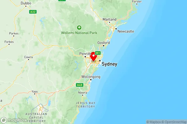
Sydney Inner South West Suburbs & Region, Sydney Inner South West Map & Postcodes
Sydney Inner South West Suburbs & Region, Sydney Inner South West Map & Postcodes in Sydney Inner South West, NSW, AU
Sydney Inner South West Region
Region Name
Sydney Inner South West (NSW, AU)Sydney Inner South West Area
163.93 square kilometers (163.93 ㎢)Postal Codes
1480, 1485, 1493, 1885, 1888, 2192, 2195, 2196, from 2198 to 2200, 2205, from 2207 to 2213, and from 2216 to 2223 (In total, there are 27 postcodes in Sydney Inner South West.)Sydney Inner South West Introduction
Sydney Inner South West is a suburb of Sydney, in the state of New South Wales, Australia. It is located 6 kilometers south-west of the Sydney central business district and is part of the City of Canada Bay. The suburb is bordered by the suburbs of Alexandria, Zetland, Chippendale, Darlington, and Ultimo. The population of Sydney Inner South West is diverse, with a mix of young professionals, families, and students. The area is known for its vibrant cultural scene, with numerous galleries, museums, and theatres. It is also home to several parks and recreational facilities, including the Royal Botanic Gardens and the Sydney Olympic Park. Transportation in Sydney Inner South West is excellent, with several bus and train lines serving the area. The suburb is also well-connected to the Sydney motorway network, making it easy to access other parts of the city. Sydney Inner South West is a popular residential area, with many modern apartments and townhouses. The area also has a number of shopping centers, including the Alexandria Shopping Centre and the Chippendale Mall.Australia State
City or Big Region
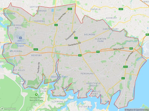
Sydney Inner South West Region Map

Sydney Inner South West Postcodes / Zip Codes
Sydney Inner South West Suburbs
Kogarah Rockdale
Sydney Inner South West full address
Sydney Inner South West, New South Wales, NSW, Australia, SaCode: 119Country
Sydney Inner South West, New South Wales, NSW, Australia, SaCode: 119
Sydney Inner South West Suburbs & Region, Sydney Inner South West Map & Postcodes has 4 areas or regions above, and there are 76 Sydney Inner South West suburbs below. The sa4code for the Sydney Inner South West region is 119. Its latitude and longitude coordinates are -33.9063,150.986.
Sydney Inner South West Suburbs & Localities
1. Georges Hall
2. Manahan
3. Padstow Heights
5. Revesby
6. Yagoona
7. Bankstown
8. Belmore
9. Kingsgrove
10. Kingsgrove Dc
11. Punchbowl
12. Lakemba
13. Hurstville
14. Hurstville Westfield
15. Penshurst
16. Mortdale
17. Beverly Hills
18. Peakhurst
19. Carss Park
20. Wolli Creek
21. Bardwell Valley
22. Kogarah
23. Kogarah Bay
24. Allawah
25. Brighton Le Sands
26. Sans Souci
