Arncliffe Area, Arncliffe Postcode(2205) & Map in Arncliffe, Sydney - Inner South West, NSW
Arncliffe Area, Arncliffe Postcode(2205) & Map in Arncliffe, Sydney - Inner South West, NSW, AU, Postcode: 2205
Arncliffe, Arncliffe - Bardwell Valley, Kogarah - Rockdale, Sydney - Inner South West, New South Wales, Australia, 2205
Arncliffe Postcode
Area Name
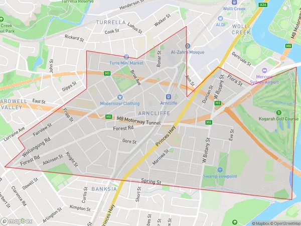
ArncliffeArncliffe Suburb Area Map (Polygon)

Arncliffe Introduction
Arncliffe is a suburb in Sydney's Inner South West, 6 kilometres south of the CBD. It is known for its multicultural population and vibrant shopping district. The suburb has a rich history and is home to several historic buildings, including the Arncliffe Baths and the Arncliffe railway station. It is also home to several parks and recreational facilities, including the Arncliffe Park Golf Course and the Arncliffe Ovals.State Name
City or Big Region
District or Regional Area
Suburb Name
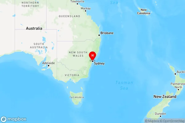
Arncliffe Region Map

Country
Main Region in AU
R1Coordinates
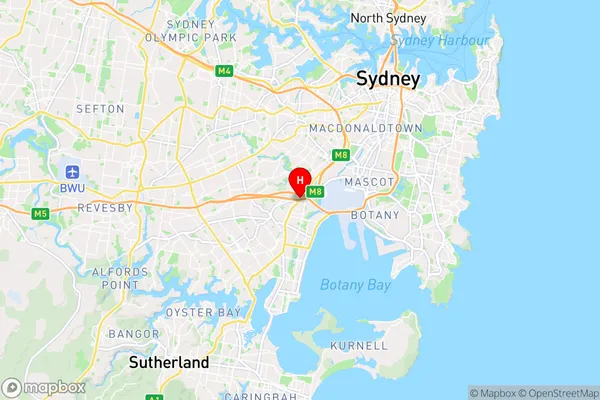
-33.9391501,151.1478116 (latitude/longitude)Arncliffe Area Map (Street)

Longitude
151.147956Latitude
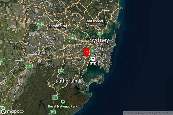
-33.937551Arncliffe Suburb Map (Satellite)

Distances
The distance from Arncliffe, Sydney - Inner South West, NSW to AU Greater Capital CitiesSA1 Code 2011
11904137503SA1 Code 2016
11904137503SA2 Code
119041375SA3 Code
11904SA4 Code
119RA 2011
1RA 2016
1MMM 2015
1MMM 2019
1Charge Zone
N1LGA Region
BaysideLGA Code
10500Electorate
Barton