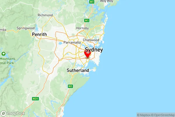
Kogarah Rockdale Suburbs & Region, Kogarah Rockdale Map & Postcodes
Kogarah Rockdale Suburbs & Region, Kogarah Rockdale Map & Postcodes in Kogarah Rockdale, Sydney Inner South West, NSW, AU
Kogarah Rockdale Region
Region Name
Kogarah Rockdale (NSW, AU)Kogarah Rockdale Area
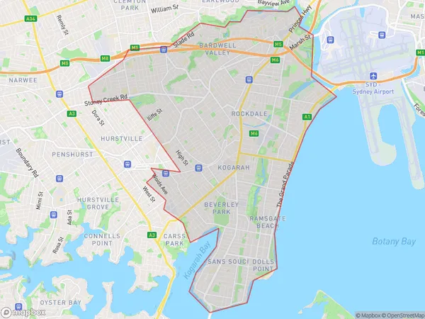
31.35 square kilometers (31.35 ㎢)Postal Codes
1480, 1485, 1493, 2205, 2207, 2208, and from 2216 to 2221 (In total, there are 12 postcodes in Kogarah Rockdale.)Kogarah Rockdale Introduction
Kogarah Rockdale is a suburb in southern Sydney, in the state of New South Wales, Australia. It is located 13 kilometers south of the Sydney central business district and is part of the City of Canada Bay. Kogarah Rockdale is a multicultural suburb with a diverse population. It is home to a large number of immigrants from various countries, including India, Pakistan, Bangladesh, and Sri Lanka. The suburb has a mix of residential, commercial, and industrial areas. Kogarah Rockdale is well-connected to the rest of Sydney via public transportation, with several bus routes and the South Coast railway line passing through it. The area is also home to several parks, including Kogarah Park and Rockdale Park, which offer residents a place to relax and enjoy outdoor activities.Australia State
City or Big Region
District or Regional Area
Kogarah Rockdale Region Map

Kogarah Rockdale Postcodes / Zip Codes
Kogarah Rockdale Suburbs
Oatley Hurstville Grove
South Hurstville Blakehurst
Arncliffe Bardwell Valley
Kingsgrove (South) Bardwell Park
Kogarah Bay Carlton Allawah
Monterey Brighton-le-Sands Kyeemagh
Arncliffe Bardwell Valley
Kogarah Rockdale full address
Kogarah Rockdale, Sydney Inner South West, New South Wales, NSW, Australia, SaCode: 11904Country
Kogarah Rockdale, Sydney Inner South West, New South Wales, NSW, Australia, SaCode: 11904
Kogarah Rockdale Suburbs & Region, Kogarah Rockdale Map & Postcodes has 15 areas or regions above, and there are 39 Kogarah Rockdale suburbs below. The sa3code for the Kogarah Rockdale region is 11904. Its latitude and longitude coordinates are -33.9392,151.148.
Kogarah Rockdale Suburbs & Localities
1. Kingsgrove
2. Kogarah
3. Hurstville
4. Wolli Creek
5. Bexley
6. Bexley North
7. Kogarah Bay
8. Carss Park
9. Connells Point
10. Bardwell Valley
11. Kingsgrove
12. Brighton Le Sands
13. Rockdale
15. Allawah
16. Hurstville Grove
17. Kyle Bay
18. South Hurstville
19. Arncliffe
20. Bardwell Park
21. Kingsway West
23. Kogarah
24. Ramsgate
25. Ramsgate Beach
26. Sans Souci
27. Hurstville
28. Blakehurst
29. Turrella
30. Bexley South
31. Kingsgrove Dc
32. Banksia
33. Brighton Le Sands
34. Rockdale Dc
35. Beverley Park
36. Carlton
37. Dolls Point
38. Sandringham
39. Hurstville Westfield
