Kingsgrove Area, Kingsgrove Postcode(2208) & Map in Kingsgrove, Sydney - Inner South West, NSW
Kingsgrove Area, Kingsgrove Postcode(2208) & Map in Kingsgrove, Sydney - Inner South West, NSW, AU, Postcode: 2208
Kingsgrove, Kingsgrove (North) - Earlwood, Canterbury, Sydney - Inner South West, New South Wales, Australia, 2208
Kingsgrove Postcode
Area Name
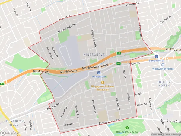
KingsgroveKingsgrove Suburb Area Map (Polygon)

Kingsgrove Introduction
Kingsgrove is a suburb in Sydney's inner-south-west, 6 kilometres from the city centre. It is known for its large shopping centre, Kingsgrove Plaza, and its multicultural population. The area has a variety of housing styles, from traditional terrace houses to modern apartments. Kingsgrove also has a number of parks and recreational facilities, including a sports centre and swimming pool.State Name
City or Big Region
District or Regional Area
Suburb Name
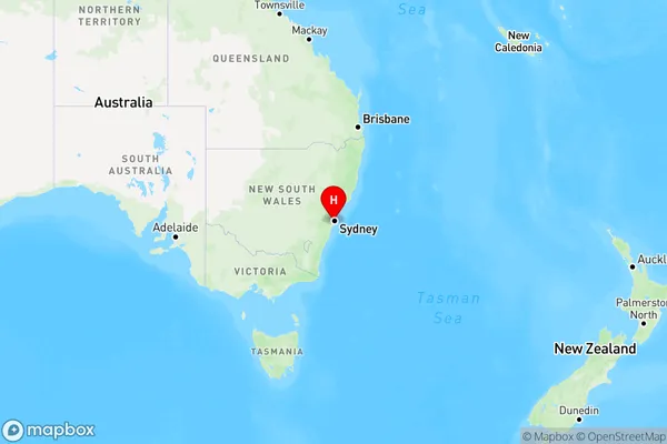
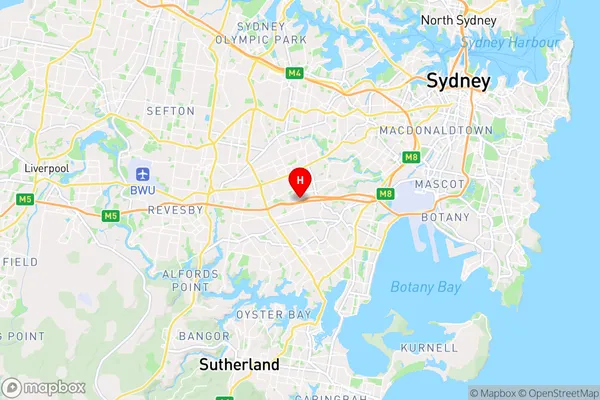
Kingsgrove Region Map

Country
Main Region in AU
R1Coordinates
-33.9379361,151.0995447 (latitude/longitude)Kingsgrove Area Map (Street)

Longitude
151.098002Latitude
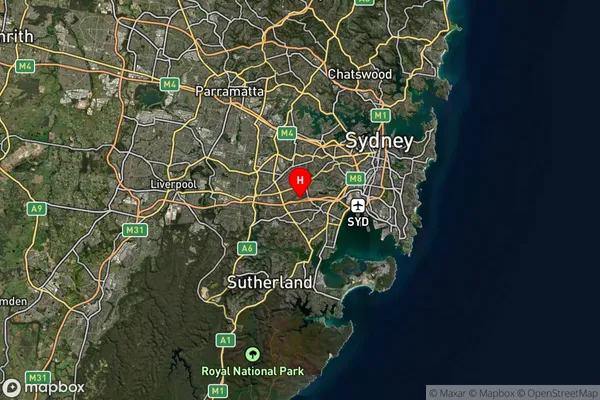
-33.942632Kingsgrove Suburb Map (Satellite)

Distances
The distance from Kingsgrove, Sydney - Inner South West, NSW to AU Greater Capital CitiesSA1 Code 2011
11902136438SA1 Code 2016
11902136438SA2 Code
119021364SA3 Code
11902SA4 Code
119RA 2011
1RA 2016
1MMM 2015
1MMM 2019
1Charge Zone
N1LGA Region
Georges RiverLGA Code
12930Electorate
Watson