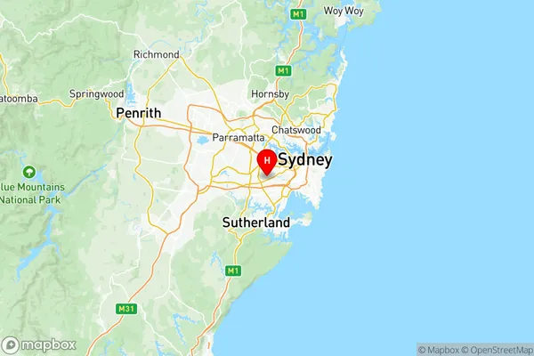
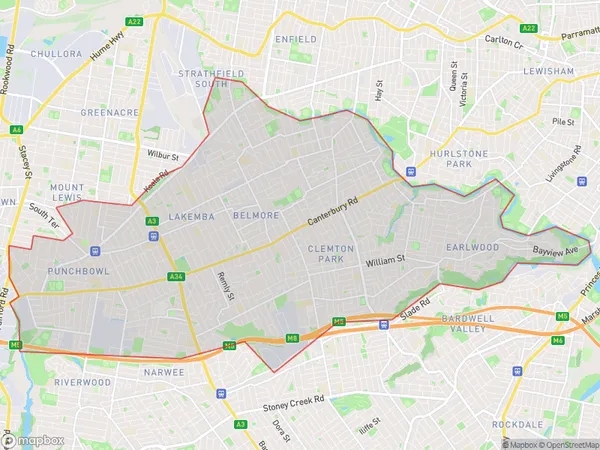
Canterbury Suburbs & Region, Canterbury Map & Postcodes
Canterbury Suburbs & Region, Canterbury Map & Postcodes in Canterbury, Sydney Inner South West, NSW, AU
Canterbury Region
Region Name
Canterbury (NSW, AU)Canterbury Area
29.96 square kilometers (29.96 ㎢)Postal Codes
1885, 1888, 2192, 2195, 2196, 2200, and 2211 (In total, there are 7 postcodes in Canterbury.)Canterbury Introduction
Canterbury is a suburb in Sydney, New South Wales, Australia, 5 kilometers southwest of the Sydney central business district. It is part of the City of Canterbury-Bankstown and is represented by the Canterbury-Bankstown Council. The suburb is named after Canterbury, England, and was originally developed as a residential suburb for workers in the nearby Sydney CBD. It is known for its large multicultural population and has a variety of shops, restaurants, and cultural institutions. Canterbury is also home to the Canterbury-Bankstown Sports Complex, which includes a cricket ground, an athletics track, and a swimming pool.Australia State
City or Big Region
District or Regional Area
Canterbury Region Map

Canterbury Postcodes / Zip Codes
Canterbury Suburbs
Greenacre Mount Lewis
Canterbury full address
Canterbury, Sydney Inner South West, New South Wales, NSW, Australia, SaCode: 11902Country
Canterbury, Sydney Inner South West, New South Wales, NSW, Australia, SaCode: 11902
Canterbury Suburbs & Region, Canterbury Map & Postcodes has 15 areas or regions above, and there are 18 Canterbury suburbs below. The sa3code for the Canterbury region is 11902. Its latitude and longitude coordinates are -33.9178,151.091.
Canterbury Suburbs & Localities
1. Bankstown
2. Bankstown
3. Belmore
4. Wiley Park
5. Manahan
6. Punchbowl
7. Bankstown
8. Padstow Heights
9. Padstow
10. Roselands
11. Bankstown Aerodrome
12. Bankstown Airport
13. Bankstown Square
14. Condell Park
15. Mount Lewis
16. Lakemba
17. Lakemba Dc
18. Bankstown North
