Roselands Area, Roselands Postcode(2196) & Map in Roselands, Sydney - Inner South West, NSW
Roselands Area, Roselands Postcode(2196) & Map in Roselands, Sydney - Inner South West, NSW, AU, Postcode: 2196
Roselands, Roselands, Canterbury, Sydney - Inner South West, New South Wales, Australia, 2196
Roselands Postcode
Area Name
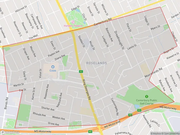
RoselandsRoselands Suburb Area Map (Polygon)

Roselands Introduction
Roselands is a suburb in Sydney's inner-south-west, located 11 kilometres south of the CBD. It is known for its large shopping centre, which includes a supermarket, department store, and numerous specialty stores. The suburb also has a public swimming pool, a tennis court, and a variety of parks and recreational facilities. Roselands is a popular residential area with a mix of apartment buildings and single-family homes.State Name
City or Big Region
District or Regional Area
Suburb Name
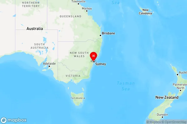
Roselands Region Map

Country
Main Region in AU
R1Coordinates
-33.9369131,151.074461 (latitude/longitude)Roselands Area Map (Street)

Longitude
151.057799Latitude
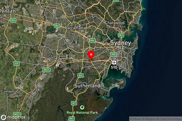
-33.930089Roselands Suburb Map (Satellite)

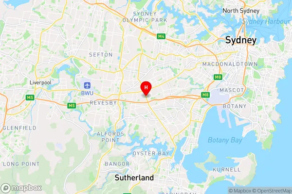
Distances
The distance from Roselands, Sydney - Inner South West, NSW to AU Greater Capital CitiesSA1 Code 2011
11902136702SA1 Code 2016
11902136702SA2 Code
119021367SA3 Code
11902SA4 Code
119RA 2011
1RA 2016
1MMM 2015
1MMM 2019
1Charge Zone
N1LGA Region
Canterbury-BankstownLGA Code
11570Electorate
Watson