Bankstown Square Area, Bankstown Square Postcode(2200) & Map in Bankstown Square, Sydney - Inner South West, NSW
Bankstown Square Area, Bankstown Square Postcode(2200) & Map in Bankstown Square, Sydney - Inner South West, NSW, AU, Postcode: 2200
Bankstown Square, Bankstown - South, Bankstown, Sydney - Inner South West, New South Wales, Australia, 2200
Bankstown Square Postcode
Area Name
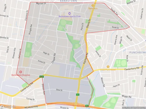
Bankstown SquareBankstown Square Suburb Area Map (Polygon)

Bankstown Square Introduction
Bankstown Square is a major shopping centre located in the heart of Bankstown, Sydney. It is home to a variety of retailers, including Coles, Woolworths, Aldi, Kmart, Target, and many more. The centre also features a food court, cinema, and a variety of services such as banking, medical, and dental. Bankstown Square is easily accessible by public transport and has ample parking available.State Name
City or Big Region
District or Regional Area
Suburb Name
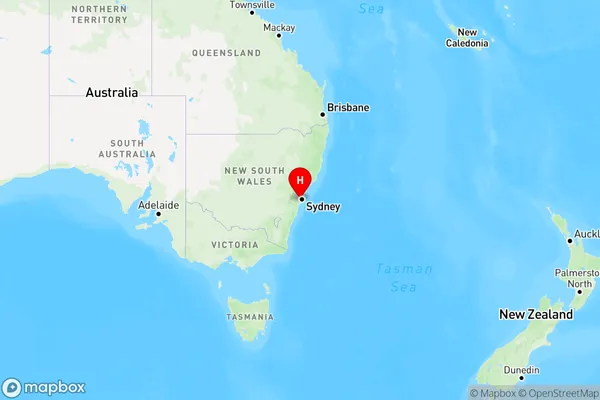
Bankstown Square Region Map

Country
Main Region in AU
R1Coordinates
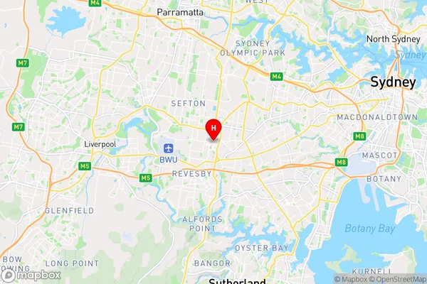
-33.91817,151.03497 (latitude/longitude)Bankstown Square Area Map (Street)

Longitude
151.014937Latitude
-33.926559Bankstown Square Elevation
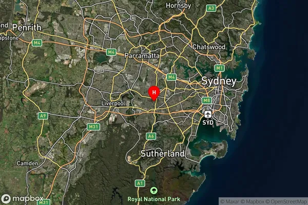
about 40.87 meters height above sea level (Altitude)Bankstown Square Suburb Map (Satellite)

Distances
The distance from Bankstown Square, Sydney - Inner South West, NSW to AU Greater Capital CitiesSA1 Code 2011
11901135359SA1 Code 2016
11901157228SA2 Code
119011572SA3 Code
11901SA4 Code
119RA 2011
1RA 2016
1MMM 2015
1MMM 2019
1Charge Zone
N1LGA Region
Canterbury-BankstownLGA Code
11570Electorate
Watson